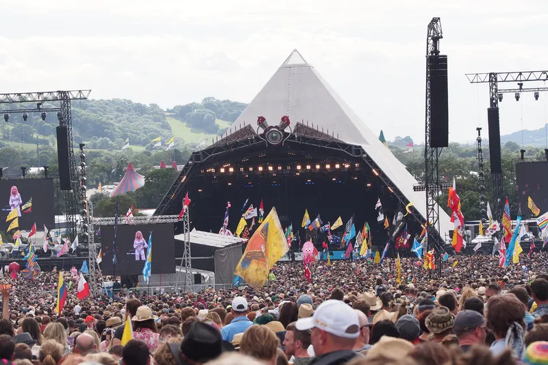
The Glastonbury Festival in Somerset, England, is renowned for its ability to attract big-name stars to perform in the countryside: this year Lizzo, Guns N' Roses, Elton John, Kelis and Lana del Rey were among the acts on stage.
The festival is also renowned for being a logistical nightmare - with more than 200,000 visitors descending on the world’s largest greenfield music and performing arts event across a 900-acre site, negotiating motorways, railways, A-roads, buses and twisty country lanes to get there.
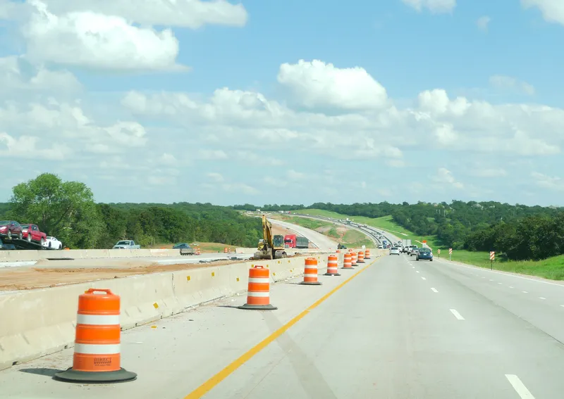
Step forward SRL, which provided Glastonbury Festival Events with a traffic management plan comprising a range of products - variable messaging signs (VMS), CCTV, ANPR cameras and workzone protection barriers - to smooth passage to the event for thousands of vehicles and people from 21-25 June 2023, and to minimise disruption for locals.
SRL’s business development director Iain McDonald explains: "This is by far our largest integrated project to date."
The company established a project planning team three months prior to the festival, making preparatory site visits and working with the customer to create a "bespoke, adaptable solution".
The team stayed on site before, during and after the event, working in the control room as part of the wider traffic management operation.
There they adapted VMS communications in response to the rapidly-evolving traffic flow, ensuring efficiency for organisers, visitors and other road users.
SRL monitored external traffic using data generated by portable CCTV cameras. The cameras, VMS and security barriers were all solar-powered to preclude the need for battery changes, which the company said improved reliability and honoured the event’s “Leave No Trace” sustainability policy.
Up-to-date instructions were given to drivers on 32 Smart Messenger VMS, directing visitors along the best route to the four main entrances and public car parks around the eight-and-a-half mile festival perimeter.
The signs also encouraged drivers to drive at a safe speed through the neighbouring village of Pilton and to advise those arriving at Castle Cary railway station of car park capacity.
Smart and portable VMS were deployed before the event to manage traffic during set-up, and five Instaboom solar/hybrid workzone protection barriers coordinated with ANPR helped facilitate controlled access to specific sites.
Within the festival grounds, Smart Portable Messager VMS were deployed to direct drivers to the 61 car parking fields and camping zones and to instruct them to drive slowly to minimise airborne dust; they also helped guide pedestrians to the different stages and events.
A spokesperson for Glastonbury Festival Events’ off-site team says: "[SRL] created a sophisticated, hands-on solution in support of the overall traffic management plan designed to safely, efficiently and sustainably help manage traffic to and within the site, while keeping non-festival traffic flowing well in the surrounding area. This is a critical part of the visitor experience and we’re really pleased with the work the company has completed.