Parknav launches real-time street parking information

Parknav is an on-street parking solution that navigates drivers in real-time to available on-street parking in metropolitan areas without needing additional hardware. The system utilises a mix of data and crowdsourcing paired with machine learning, artificial intelligence and predictive analytics to provide an optimised search route to navigate drivers to the nearest on-street parking space.
March 3, 2017 Read time: 1 min

Parknav is an on-street parking solution that navigates drivers in real-time to available on-street parking in metropolitan areas without needing additional hardware. The system utilises a mix of data and crowdsourcing paired with machine learning, artificial intelligence and predictive analytics to provide an optimised search route to navigate drivers to the nearest on-street parking space.

It is available either as a mobile app or for integration into existing third party solutions and platforms and also allows drivers to see the location of nearby off-street parking garages.

Related Content

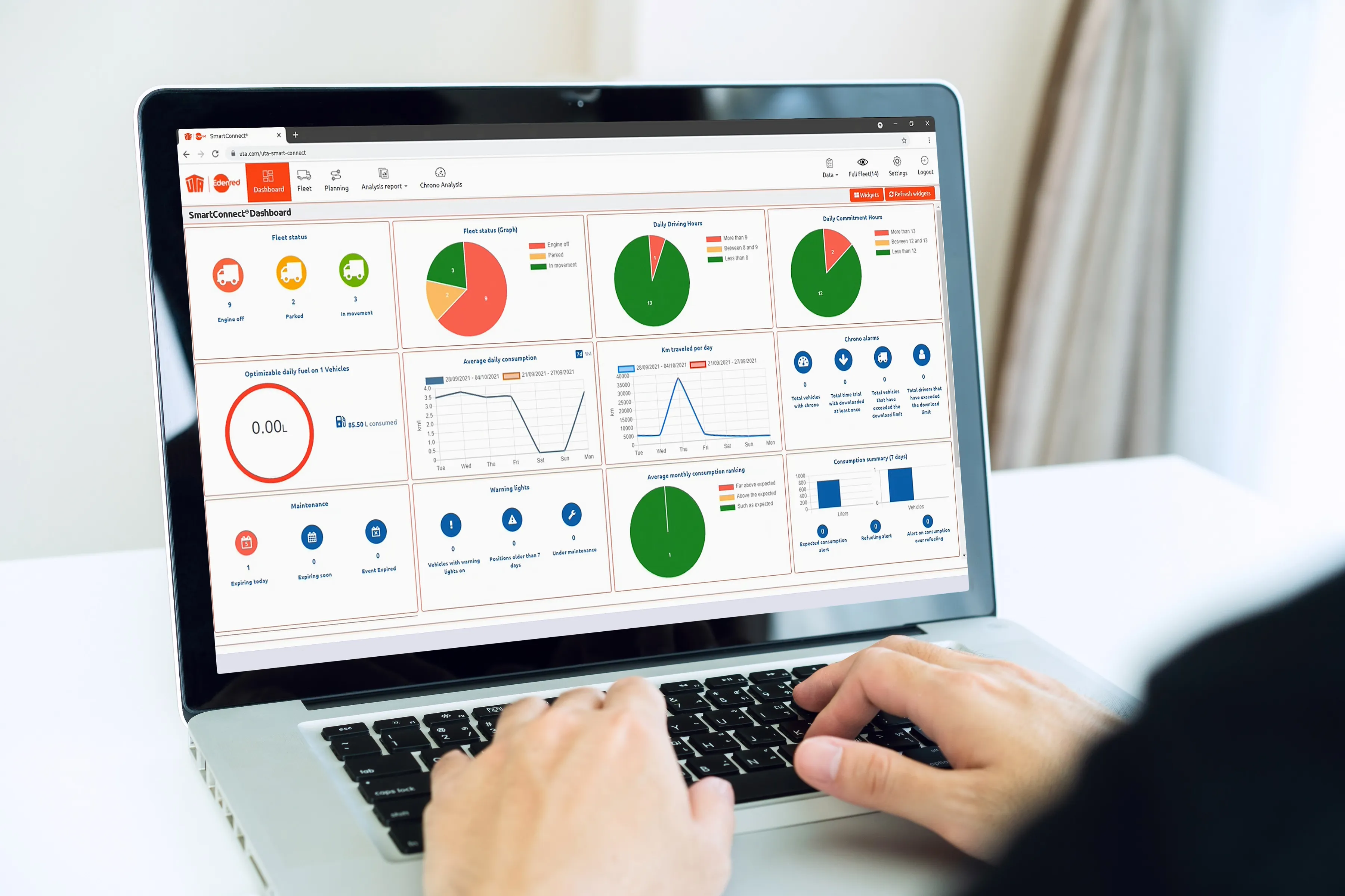
  • UTA launches telematics solution 
    December 1, 2021
    The position of every vehicle can be seen in real-time using GPS tracking
  • Bosch trials park and ride app with city of Stuttgart
    December 15, 2015
    Verband Region Stuttgart (Stuttgart regional association) and Robert Bosch are to launch an pilot active parking lot management project to provide drivers with real time parking information via an app or online. Fifteen park and ride facilities to be equipped with Bosch occupancy sensors to identify unoccupied parking spaces on a minute-by-minute basis and communicate this information in real time via the VVS Transit and Tariff Association Stuttgart app and website. Eleven cities and communities in the
  • Fare game with Cubic's FEnX
    February 28, 2025
    New gate can accurately detect, record and flag fare evasion as it’s happening
  • Jam buster and parking finder for Abu Dhabi
    March 20, 2014
    Abu Dhabi Department of Transport has completed a US$2.45 million system that will provide real-time information on traffic congestion, route guidance and other conditions via smartphones, the internet and navigation devices in cars. The Integrated Transport Information and Navigation System (i-TINS) collects real-time data from different sources – road side systems such as traffic counting systems and travel time measurement systems and central sub-systems such as taxi and bus GPS-based tracking systems