Parknav launches real-time street parking information

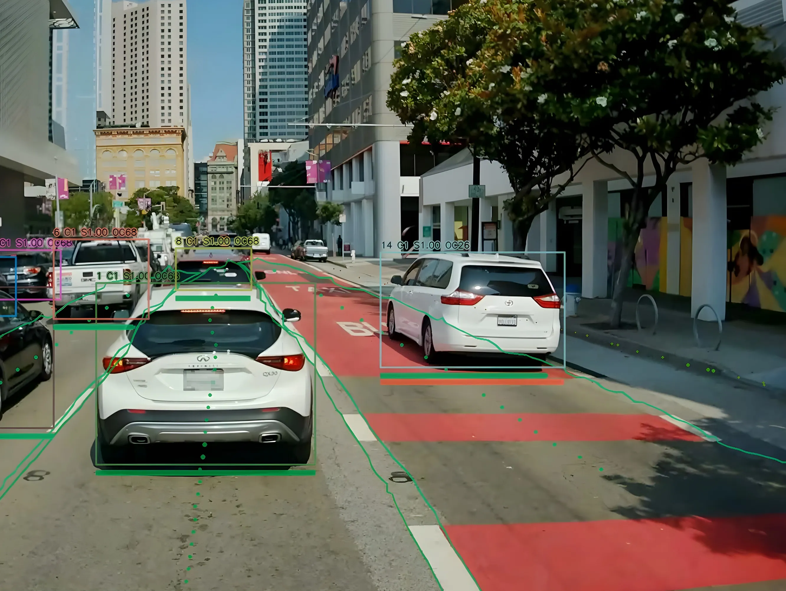
Parknav is an on-street parking solution that navigates drivers in real-time to available on-street parking in metropolitan areas without needing additional hardware. The system utilises a mix of data and crowdsourcing paired with machine learning, artificial intelligence and predictive analytics to provide an optimised search route to navigate drivers to the nearest on-street parking space.
March 3, 2017 Read time: 1 min

Parknav is an on-street parking solution that navigates drivers in real-time to available on-street parking in metropolitan areas without needing additional hardware. The system utilises a mix of data and crowdsourcing paired with machine learning, artificial intelligence and predictive analytics to provide an optimised search route to navigate drivers to the nearest on-street parking space.

It is available either as a mobile app or for integration into existing third party solutions and platforms and also allows drivers to see the location of nearby off-street parking garages.

Related Content

  • Taking the hassle out of parking
    April 29, 2015
    A team of senior electrical and computer engineers from Rice University in Houston, Texas, has developed a new parking technology called ParkiT, with the aim of making it easier to find a parking space in a crowded car park. The team claims the new system is cheaper than sensor technology currently being used and would provide car park managers and attendants with real time information on available parking spaces. That information could then be shared with drivers through electronic signs or a driver-fri
  • CCAM innovation at ITS World Congress 2021
    September 27, 2021
    We live in an era of increasingly cooperative, connected and automated mobility (CCAM) but there’s still a huge way to go - visitors to ITS World Congress in Hamburg will be able to see projects, innovations and real-life solutions showcased in the city
  • Wireless traffic data in real time
    January 31, 2012
    The effect of moving objects on the electromagnetic landscape set up by cellular telephony networks can be detected and interpreted to give real-time traffic data across large geographical areas at low cost. Here, we revisit the Celldar concept. Global economic downturn has pushed public-sector agencies, transport administrations among them, to push even harder for cost efficiencies. Unfortunately, when it comes to transport safety and efficiency the public sector often has to work up to a cost rather than
  • Hayden AI & Snapper Services keep their eyes on the road
    August 29, 2024
    Snapper Services CEO Miki Szikszai and Chris Carson, CEO of Hayden AI, tell Adam Hill about synergy and partnership – and how to make use of data once you’ve gathered it