Find & Pay from
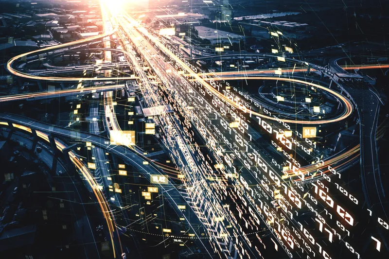
Find & Pay combines transaction data with crowd-sourced location information from users and Internet of Things (IoT) devices to create a parking probability map for each city block at any given hour of the day. With this information it provides users with a route to their destination which passes along streets with the highest probability of parking availability, balancing in-car time against walking distance to destination to find the optimal route.
It provides turn-by-turn navigation along the route, also noting available off-street parking and lets users remotely manage and pay for the parking space when they arrive.
EasyPark launches Find & Pay predictive parking technology
Find & Pay from EasyPark uses big data, predictive analytics and machine learning to cut (by up to 50%) the time taken to find parking in congested cities. Find & Pay combines transaction data with crowd-sourced location information from users and Internet of Things (IoT) devices to create a parking probability map for each city block at any given hour of the day. With this information it provides users with a route to their destination which passes along streets with the highest probability of parking avai