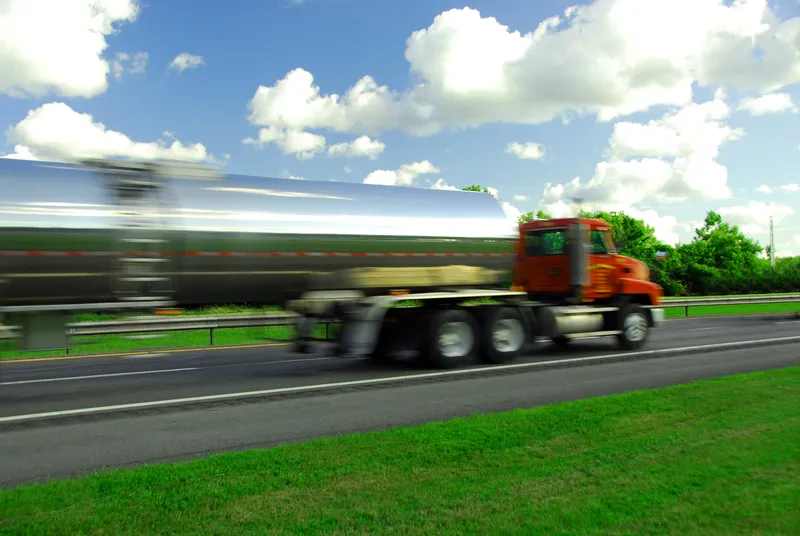
Variable message signs have been installed on the Danish E20 highway between Odense and Copenhagen to give truck drivers real-time information on available parking areas.
The highway, part of the Scandria corridor, carries some of the highest commercial vehicle volumes and connects capitals and metropolitan regions along the shortest route from Scandinavia via Central Europe to the Adriatic Sea. In the interests of road safety, truck drivers must adhere to strict travel and rest times.
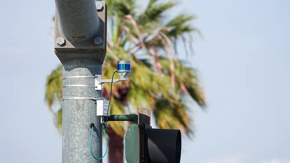
The truck parking system installed by Dutch company
“With Sensit, Nedap offers an innovative and smart sensor system to detect the real-time occupancy of individual parking bays. The system and its components are robust, easy to install and up and running quickly. Manuals are well described and the installation process is well documented. That gives us confidence. The user interface is easy to use and well designed, both visually and functionally, says Thomas Holm, project and sales manager, ATKI.
Smart truck parking in Denmark
Variable message signs have been installed on the Danish E20 highway between Odense and Copenhagen to give truck drivers real-time information on available parking areas. The highway, part of the Scandria corridor, carries some of the highest commercial vehicle volumes and connects capitals and metropolitan regions along the shortest route from Scandinavia via Central Europe to the Adriatic Sea. In the interests of road safety, truck drivers must adhere to strict travel and rest times.