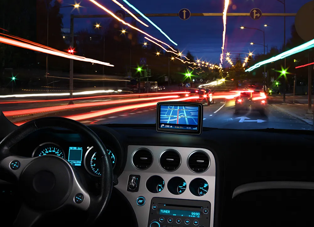
Iteris enhances travel time system

Iteris has upgraded its Vantage detection solutions with Vantage Velocity 2.0, which includes several enhancements to its Bluetooth-based travel time system. Vantage Velocity, Iteris’ Bluetooth-based travel time system, employs sensors installed at defined segments along the road to capture the identity of passing Bluetooth-enabled devices. Utilising advanced algorithms, the host software analyses the matches between sensors to create accurate real-time speed and travel time data on freeways and arterial ro
August 9, 2013 Read time: 2 mins
73 Iteris has upgraded its Vantage detection solutions with Vantage Velocity 2.0, which includes several enhancements to its Bluetooth-based travel time system.
 
Vantage Velocity, Iteris’ Bluetooth-based travel time system, employs sensors installed at defined segments along the road to capture the identity of passing Bluetooth-enabled devices. Utilising advanced algorithms, the host software analyses the matches between sensors to create accurate real-time speed and travel time data on freeways and arterial roadways.

The enhancements in Vantage Velocity 2.0 provide public agencies with the flexibility to meet their traffic management needs by enabling them to create their own user-definable congestion maps. Improved reporting allows operators to obtain a complete view of real-time traffic and origin-destination data while understanding demand trends over periods of several days. The new field unit data viewer allows users to begin monitoring incoming Bluetooth matches directly from the installation site, which provides instant validation of the installation performance.

“These enhancements to our Vantage Velocity product are a result of the market’s growing demand for real-time traffic information,” said Todd Kreter, senior vice president of development and operations for Iteris’ Roadway Sensors segment. “The upgrade will provide our customers with the ability to monitor road conditions and respond faster to various traffic situations.”

For more information on companies in this article

Related Content

  • TomTom partners with Duel to deliver real-time traffic information for city of Rome
    September 20, 2012
    TomTom is to partner with traffic management experts Duel to provide location and traffic information in the Lazio region of Italy, including Rome. TomTom will deliver a combination of maps, and both historical and real-time traffic information to support forecasting of traffic for the area. Drivers will benefit from a more comprehensive and accurate view of what is going to happen on the road networks, enabling them to choose the best possible route to their destination. TomTom HD Flow delivers speed info
  • Advances in real time traffic and travel information
    March 16, 2012
    David Crawford admires TomTom’s flying start to 2012. Gobal location and navigation equipment supplier TomTom rang in 2012 with two strategically important announcements. First was the signing of a deal with Korean electronics giant Samsung, representing an important consolidation of its position in the consumer market. Under this agreement, TomTom maps and location content will power the Samsung Wave3 smartphone, launched in autumn 2011. TomTom data will support navigation and search-and-find applications
  • How digital navigation is key to managing congestion
    March 24, 2023
    Satnav – not costly civil engineering projects – might point us towards better management of congested road networks, argues David Metz of University College London
  • Crisma Security and Videotec partner on integrated surveillance system
    March 21, 2017
    Security systems specialist Crisma Security has integrated the Navtech radar with the Ulisse thermal radical range of PTZ thermal cameras manufactured by Videotec, to provide a flexible solution for optimal management of large-scale critical infrastructures. The Navtech radar uses millimetre wave technology, creating an automated and reliable system to help protect against intrusion, with the ability to automatically detect a person in a radius of up to 1000m, both day and night and in all environmental