NTT counts Nevada vehicles 

A web-based management dashboard will present real-time visualisations 
By Ben Spencer January 19, 2022 Read time: 2 mins
NTT tech will count vehicle volume in and out of specific roads (© Hxdylzj | Dreamstime.com)

NTT's solutions are being used for 'smart park' initiatives in Nevada, with an initial pilot focusing on vehicle counting at Sunset Park in Clark County. 

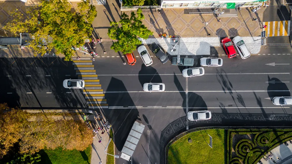
NTT Smart Solutions will utilise optical sensors to count vehicle volume in and out of specific roads within the park and nearby carparks. 

The company says NTT Smart Solutions are designed to curate data to reveal trends, discover insights and generate predictive analytics. 

A web-based management dashboard will present real-time visualisations and predictive analysis in a singular pane of view to optimise and improve operational awareness and responsiveness within the park premises.

Clark County Commission vice chairman Jim Gibson, whose district includes the park, says: “The data from this project will help us to better understand how the park is utilised so that we can respond with solutions as necessary -- not only at Sunset Park but at other recreational facilities across the County where we may deploy this technology."

Akira Shimada, senior executive vice president at NTT says: “At the end of 2018, NTT reached an agreement to advance and accelerate smart technologies across Southern Nevada. Today, we are pleased to demonstrate that we continue our partnership and our efforts to support Clark County and the region of Southern Nevada to become leaders for smart project in the country."

For more information on companies in this article

Related Content

  • OS data helps EVs and cities 
    November 8, 2021
    OS says new mapping techniques are addressing rapid urbanisation 
  • Inrix aids authorities in dealing with data
    August 18, 2015
    New traffic data products and services have been launched to aid transport and urban planners and business with detailed intelligence on journey patterns, reports Jon Masters. Manual travel surveys ought soon to become a thing of the past for transport planners and the business community. The technology now exists for getting sophisticated levels of traffic and trip data from connected vehicles. Cars and commercial fleets carrying a GPS device, or a mobile phone or smartphone are the sources of the informat
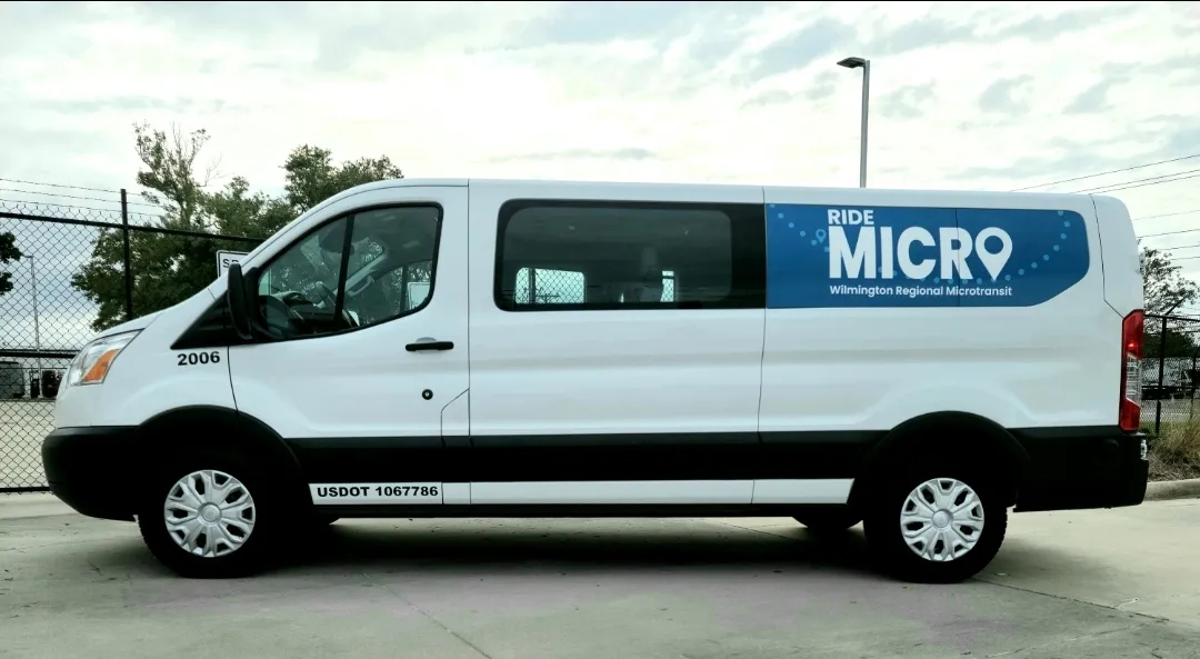
  • Moovit updates RideMicro on-demand 
    February 23, 2022
    App directs users to pick-up location and provides real-time tracking in North Carolina 
  • Drones make Soarizon watcher of the skies
    December 16, 2020
    Getting a close view of where traffic problems are occurring is one of the main selling points of the ITS vision industry. Soarizon is doing things differently, Benjamin Orcan tells Adam Hill