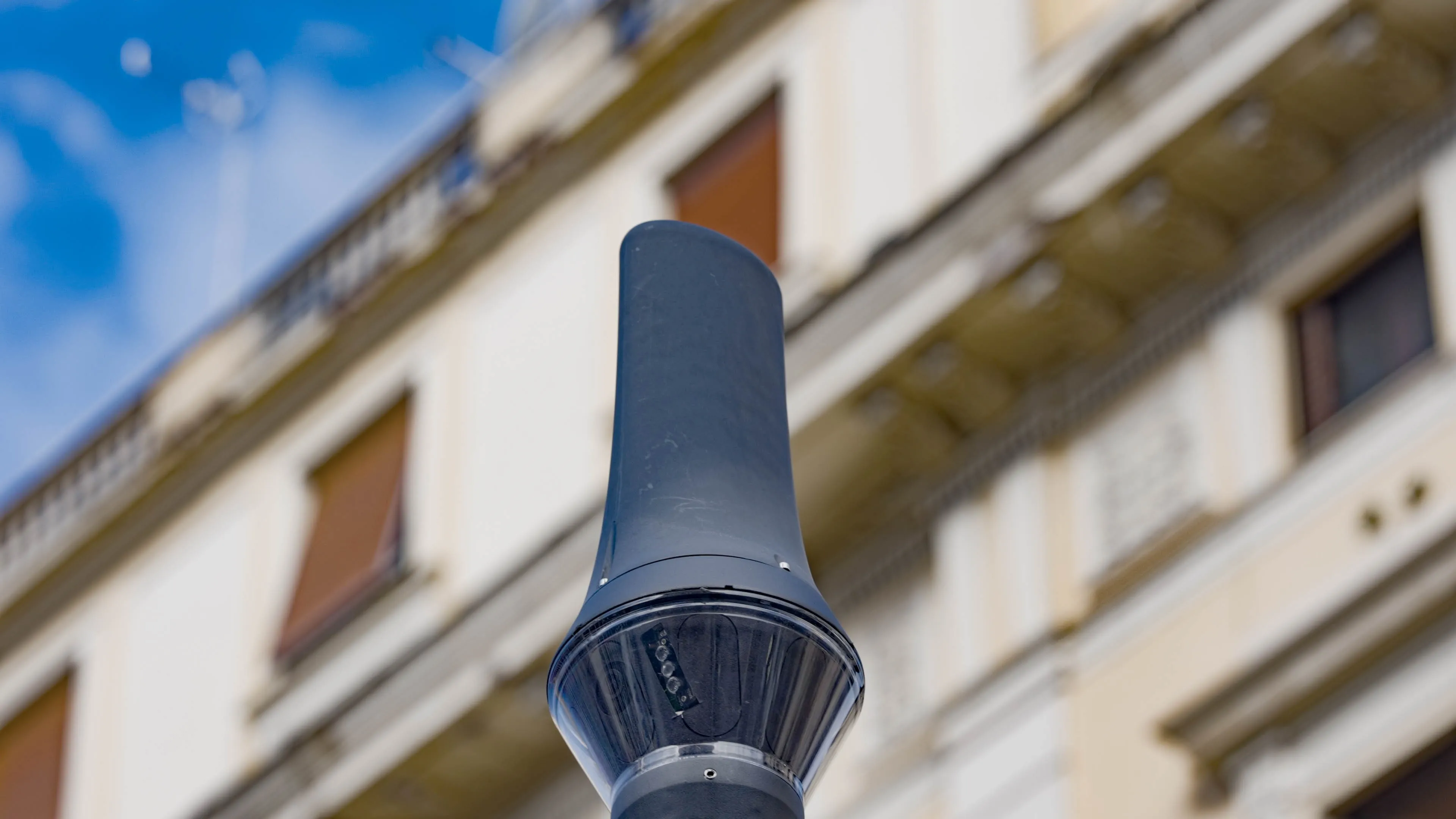
Following a pilot project, the city of Verona in Italy has integrated Nedap’s Sensit wireless parking sensors with Wes Park software from Project Automation in a bid to manage parking in the city’s narrow streets.
By introducing Nedap’s Sensit sensors, which improve utilisation of the city’s existing parking spaces, AMT, the service company managing the Verona Urban Parking Plan is now able to optimise parking.
The system consists of wireless parking sensors that detect in real-time whether or not a s
April 10, 2015
Read time: 2 mins
Following a pilot project, the city of Verona in Italy has integrated 3838 Nedap’s Sensit wireless parking sensors with Wes Park software from Project Automation in a bid to manage parking in the city’s narrow streets.
By introducing Nedap’s Sensit sensors, which improve utilisation of the city’s existing parking spaces, AMT, the service company managing the Verona Urban Parking Plan is now able to optimise parking.
The system consists of wireless parking sensors that detect in real-time whether or not a single parking bay is occupied and how long it has been occupied. This information is used to guide motorists to available parking spaces, which increases traffic flow in cities and decreases pollution. Parking space utilisation is also optimised and enforcement can be carried out more efficiently.
Occupancy data collected by the Nedap sensor network, combined with information acquired from existing251 Parkeon parking meters, feeds the WesPark software of Nedap’s partner Project Automation, providing a comprehensive parking management solution.
The data enables the city to provide real-time occupancy monitoring of parking bays, which in turn facilitates guiding motorists to available parking places via multichannel applications (VMS, mobile apps, sms/mail push services), helping the city to reduce congestion, create safer streets and a more attractive city centre for visitors and residents.
By introducing Nedap’s Sensit sensors, which improve utilisation of the city’s existing parking spaces, AMT, the service company managing the Verona Urban Parking Plan is now able to optimise parking.
The system consists of wireless parking sensors that detect in real-time whether or not a single parking bay is occupied and how long it has been occupied. This information is used to guide motorists to available parking spaces, which increases traffic flow in cities and decreases pollution. Parking space utilisation is also optimised and enforcement can be carried out more efficiently.
Occupancy data collected by the Nedap sensor network, combined with information acquired from existing
The data enables the city to provide real-time occupancy monitoring of parking bays, which in turn facilitates guiding motorists to available parking places via multichannel applications (VMS, mobile apps, sms/mail push services), helping the city to reduce congestion, create safer streets and a more attractive city centre for visitors and residents.


