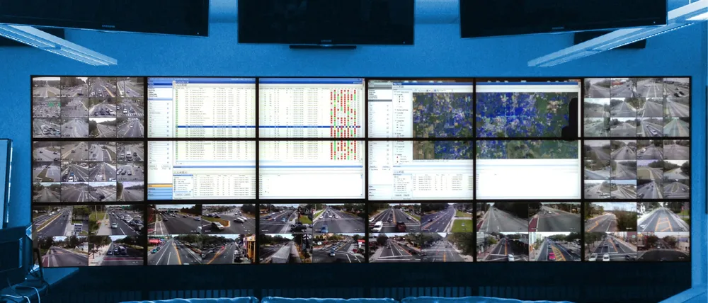
Abu Dhabi Department of Transport has completed a US$2.45 million system that will provide real-time information on traffic congestion, route guidance and other conditions via smartphones, the internet and navigation devices in cars.
The Integrated Transport Information and Navigation System (i-TINS) collects real-time data from different sources – road side systems such as traffic counting systems and travel time measurement systems and central sub-systems such as taxi and bus GPS-based tracking systems
March 20, 2014
Read time: 2 mins
Abu Dhabi Department of Transport has completed a US$2.45 million system that will provide real-time information on traffic congestion, route guidance and other conditions via smartphones, the internet and navigation devices in cars.
The Integrated Transport Information and Navigation System (i-TINS) collects real-time data from different sources – road side systems such as traffic counting systems and travel time measurement systems and central sub-systems such as taxi and bus GPS-based tracking systems. Data is then analysed and processed to ensure its accuracy and made available to drivers and transport system users in the Emirate.
In addition, i-TINS, through its “Darb Mobile” smartphone application, offers various other smart services such as booking a taxi, paying for parking and selecting to receive general or specific notifications about traffic incidents.
i-TINS provides users with information on travel times, location of traffic incidents and congestion, bus stations and stops, real-time bus schedules, ferry routes and timetables. Through strategic partnerships, i-TINS also provides information on real-time flight arrivals and departures, operating airlines, direction to terminals and real-time parking availability information and other airport services.
Launching the system, Engineer Salah Mohamed Al Marzouqi, director of Integrated Intelligent Transportation Systems (IITS) Division said: “The main objective of the i-TINS project is to make available to the public reliable, interactive and real-time information on the road network and public transport modes. The DoT has designed, developed, installed and tested the system to ensure optimal performance, and we are now training a team of UAE nationals to operate and manage the system.”


