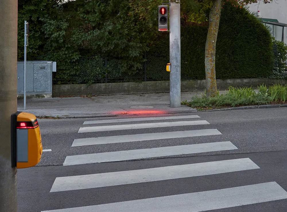
Vitronic’s next generation traffic enforcement device, the PoliScan FM1, uses advanced LIDAR tracking technology to continuously monitor up to six lanes of traffic, creating a real-time image of the traffic situation.
Designed for fixed and mobile deployment, the PoliScan FM1 can be deployed for both speed and red light enforcement, including mobile, spot and point to point speed enforcement, as well as tailgating and illegal use of individual lanes.
The compact housing contains all sensor and documen
Designed for fixed and mobile deployment, the PoliScan FM1 can be deployed for both speed and red light enforcement, including mobile, spot and point to point speed enforcement, as well as tailgating and illegal use of individual lanes.
The compact housing contains all sensor and documentation technology, while a colour touch screen on the rear of the unit offers easy and intuitive access to information on system status and the current enforcement session. New control software assists the operator during setup and automatically adapts the system to traffic flow. Once PoliScan FM1 is set up, the enforcement session is fully automatic and does not require an operator.