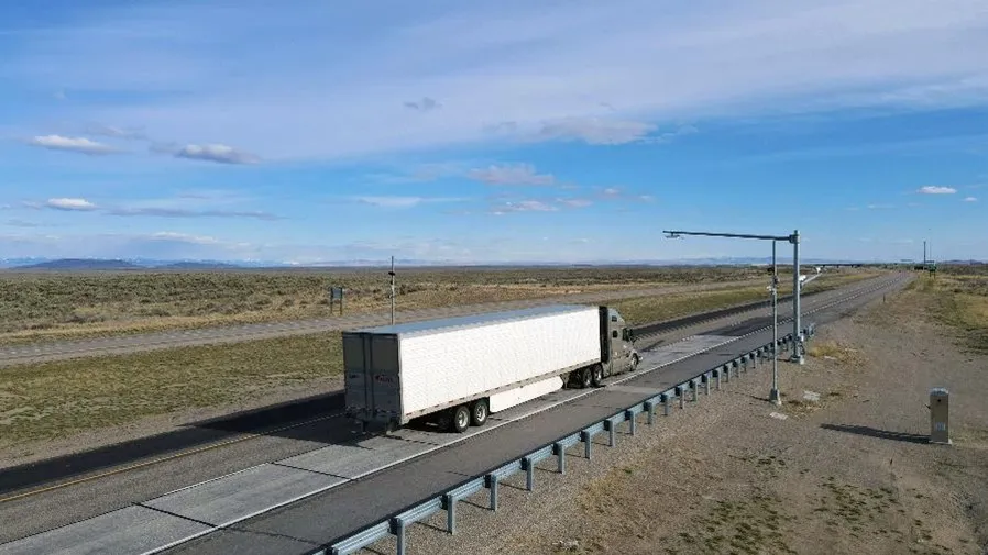
Jenoptik Vector P2P receives NMi approval

Jenoptik’s Vector P2P, an average speed point-to-point (P2P) enforcement system, can be used in the Netherlands following approval from the Dutch National Institute of Metrology (NMi). Vector P2P is based around the SPECS average speed measuring cameras used in the UK and will also be made available in other European and international jurisdictions which accept certification from the NMi. The system utilises the Vector2 camera platform to help it enable up to three lanes of image and automatic number
October 15, 2018 Read time: 2 mins

79 Jenoptik’s Vector P2P, an average speed point-to-point (P2P) enforcement system, can be used in the Netherlands following approval from the Dutch National Institute of Metrology (NMi).

Vector P2P is based around the SPECS average speed measuring cameras used in the UK and will also be made available in other European and international jurisdictions which accept certification from the NMi. 

The system utilises the Vector2 camera platform to help it enable up to three lanes of image and automatic number plate recognition capture. It can also be supported by the Vector IR (infra-red) scene illumination module, for enforcement on roads at night.

Jenoptik says the system’s P2P instation server supports an unlimited network of camera outstations and allows a regional or country network of cameras to be monitored. Camera status can be remotely monitored through a graphical user interface, including geographic information system mapping and reporting.

For more information on companies in this article

Related Content

  • Sick takes the high road for complex traffic management
    April 16, 2013
    Sick is taking advantage of Traffex to launch its TIC102 laser measurement system at Traffex 2013, part of the company’s growing portfolio of vehicle and traffic management solutions in the UK, Following the acquisition of the Swiss-based company ECTN. The TIC102 offers real time vehicle profiling and classification for multi-lane, free flowing or stop-go traffic. As well as providing collection data for tolls, it can be used for monitoring vehicle speed, vehicle dimensions and vehicle intervals, even with
  • Esri maps cause and effect
    September 26, 2024
    The work of the Connecticut Transportation Safety Research Center means engineers can concentrate on developing more effective safety measures, rather than having to sort out raw crash data
  • LiDAR sets its sights on future problems
    February 23, 2017
    AAdvances in LiDAR are helping transport authorities improve services and identify potential problem areas, as geospatial technology expert Dr Neil Slatcher explains. The effects of climate change on the transport infrastructure have long been a cause of concern within the transportation sector - and not only on the structures themselves but also on the surrounding areas. This year, those concerns have become reality with landslides, structural collapses and surfacing issues impacting services across the wo
  • IRD: from the ground up
    September 16, 2021
    IRD is undertaking a comprehensive review of its road safety and monitoring solutions. A series of initiatives is building on the company’s in-pavement expertise, bringing considerable additional value for the customer to the traditional range of products while complementing these with wholly new technologies