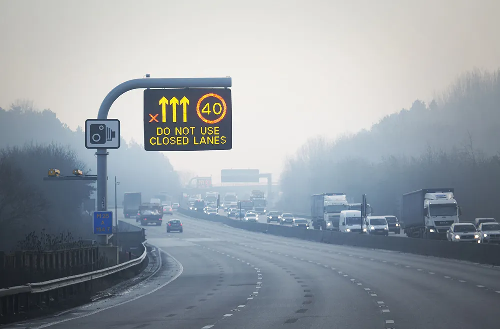
A route enforcement and casualty reduction scheme on the strategic A14 in the UK has won a prestigious Prince Michael International Road Safety Award.
The A14 route between the Midlands and East Anglia operates at the national speed limit of 70mph as a dual carriageway with central reserve and no hard shoulder. The average annual daily traffic figure is 74,000 and with no motorways or other high standard diversion routes along this corridor, journeys can be seriously delayed when congestion or collisio
November 28, 2014
Read time: 2 mins
A route enforcement and casualty reduction scheme on the strategic A14 in the UK has won a prestigious Prince Michael International Road Safety Award.
The A14 route between the Midlands and East Anglia operates at the national speed limit of 70mph as a dual carriageway with central reserve and no hard shoulder. The average annual daily traffic figure is 74,000 and with no motorways or other high standard diversion routes along this corridor, journeys can be seriously delayed when congestion or collisions occur. To the east, the ports of Felixstowe and Harwich result in a high number of heavy goods vehicles; these having an impact on speed differentials and traffic flow.
There were a large number of collisions and casualties along this route, even after the installation of eight fixed spot speed camera sites in 2001. The503 Highways Agency therefore decided to install average SPECS speed enforcement cameras between Spittals Interchange and Girton, a 22 kilometre control section.
The SPECS cameras have been operational since July 2007. Analysis of the two year post installation stats19 data shows that killed and seriously injured (KSI) collisions have dropped by 68 per cent, which equates to an average annual saving to the economy of US$6.8 million. In addition, anecdotal evidence suggests that journey time reliability has improved, providing smoother flows, reduced close following, less aggressive driving and better fuel consumption.
The A14 route between the Midlands and East Anglia operates at the national speed limit of 70mph as a dual carriageway with central reserve and no hard shoulder. The average annual daily traffic figure is 74,000 and with no motorways or other high standard diversion routes along this corridor, journeys can be seriously delayed when congestion or collisions occur. To the east, the ports of Felixstowe and Harwich result in a high number of heavy goods vehicles; these having an impact on speed differentials and traffic flow.
There were a large number of collisions and casualties along this route, even after the installation of eight fixed spot speed camera sites in 2001. The
The SPECS cameras have been operational since July 2007. Analysis of the two year post installation stats19 data shows that killed and seriously injured (KSI) collisions have dropped by 68 per cent, which equates to an average annual saving to the economy of US$6.8 million. In addition, anecdotal evidence suggests that journey time reliability has improved, providing smoother flows, reduced close following, less aggressive driving and better fuel consumption.


