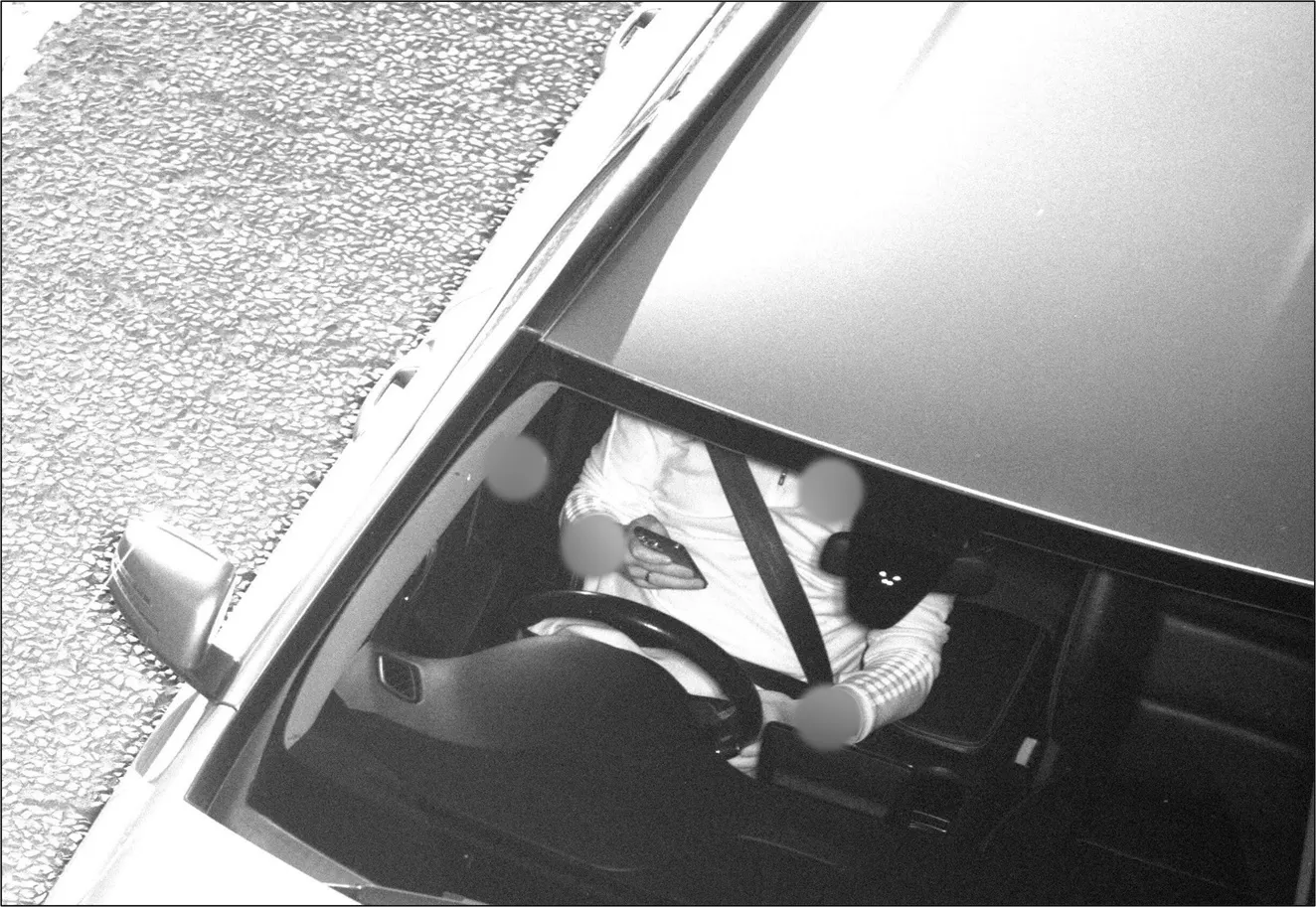
New research by the UK’s RAC Foundation indicates that speed cameras reduce the number of fatal and serious collisions in areas where they are installed. Analysis of data for 551 fixed speed cameras in nine areas shows that on average the number of fatal and serious collisions in their vicinity fell by more than a quarter (twenty-seven per cent) after their installation. There was also an average reduction of fifteen per cent in personal injury collisions in the vicinity of the 551 cameras.
June 7, 2013
Read time: 2 mins
New research by the UK’s 4961 RAC Foundation indicates that speed cameras reduce the number of fatal and serious collisions in areas where they are installed.
Analysis of data for 551 fixed speed cameras in nine areas shows that on average the number of fatal and serious collisions in their vicinity fell by more than a quarter (twenty-seven per cent) after their installation.
There was also an average reduction of fifteen per cent in personal injury collisions in the vicinity of the 551 cameras.
However the research also highlights twenty-one camera sites in these areas at which, or near which, the number of collisions appears to have risen.
Professor Stephen Glaister, director of the RAC Foundation, said: “At the end of 2010 we published a report by Professor Richard Allsop which concluded that without speed cameras there would be around 800 more people killed or seriously injured each year at that time. Overall his new work reinforces those earlier conclusions, but crucially the study has also identified a number of camera sites in the vicinity of which collisions seem to have risen markedly. This may or may not be related to the cameras but warrants further investigation. Therefore, on the basis of this study, we have now written to eleven local authorities suggesting they examine the positioning and benefits of a total of twenty-one cameras.
“This is an intensely complex issue, but there is no one better placed to carry out the task than Professor Allsop and he has now produced a technical guide to help those interested in the subject try and better understand the numbers published for their areas.”


