Red light, speed and school bus safety cameras are typically used to catch dangerous drivers, but US law enforcement agencies also use the video and still images to investigate an average of 300 criminal and crash incidents a month.
American Traffic Solutions (ATS) has responded to more than 20,000 requests for video from 1 January 2011 to 31 May 2016 from police forces in the US, which, when permitted by law, utilised the video and still images to analyse crashes, catch criminals and identify drivers in
Red light, speed and school bus safety cameras are typically used to catch dangerous drivers, but US law enforcement agencies also use the video and still images to investigate an average of 300 criminal and crash incidents a month.
17 American Traffic Solutions (ATS) has responded to more than 20,000 requests for video from 1 January 2011 to 31 May 2016 from police forces in the US, which, when permitted by law, utilised the video and still images to analyse crashes, catch criminals and identify drivers in hit-and-run collisions.
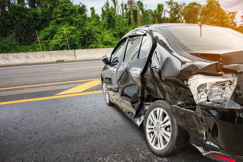
Among the requests for videos, ATS found 44 per cent of the requests aided the investigation of a crash; 32 per cent assisted with a police investigation; nine per cent were used in a robbery investigation; seven per cent assisted with a hit-and-run investigation; another six per cent were used to investigate a homicide, and two per cent were used to investigate shootings.
Among the requests for videos, ATS found 44 per cent of the requests aided the investigation of a crash; 32 per cent assisted with a police investigation; nine per cent were used in a robbery investigation; seven per cent assisted with a hit-and-run investigation; another six per cent were used to investigate a homicide, and two per cent were used to investigate shootings.