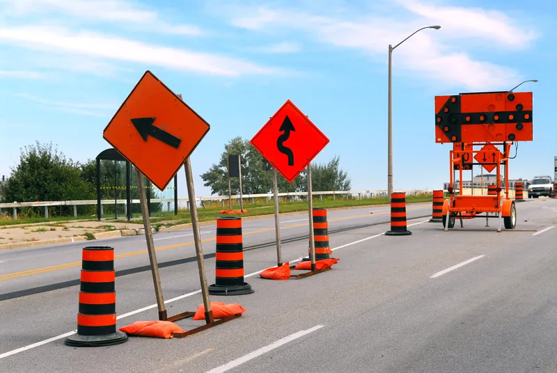
More than 16,000 people die on Tanzania’s roads annually, according to World Health Organisation figures.
Road crashes are the leading cause of death for children and young adults aged five to 29 years old.
But the Tanzania Ten Step Plan Project, celebrated at a completion event in Dar-es-Salaam this week, aims to improve the situation.
"We have a moral obligation to act and to reverse this trend and the Ten Step Project has equipped us with the knowledge, skills and tools to do so," said Makame M. Mbarawa, the country's minister for works and transport.
Jointly funded by the United Nations Road Safety Fund (UNRSF) and the Foreign Commonwealth and Development Office (UKAid), through the Global Road Safety Facility (GRSF) of the World Bank, the 30-month pilot project has built sustainable institutional capacity for safer roads, and partnerships to save lives and reduce serious injuries resulting from road crashes.
The United Nations Economic Commission for Africa (UNECA) has helped a consortium led by the International Road Federation (IRF) to implement the project.
It includes the International Road Assessment Programme (iRAP), the World Road Association (PIARC) and the Tanzania Roads Association (TARA). The project has brought together the Government of Tanzania through MoWT, TANROADS, TARURA, National Institute of Transport (NIT), and other leading institutions, NGOs and industry stakeholders in Tanzania.
Since its launch in March 2021, the project has helped to embed improvements in how thousands of new and existing kilometres of Tanzania’s road network will be designed, upgraded, and managed for improved road safety now and in the future.
Over 500 local stakeholders have been trained and certified on road safety audits, iRAP assessments, and start rating of designs.
Infrastructure safety data has now been expanded to more than 10,000 km.
The project has also delivered recommendations for a National Road Infrastructure Safety Strategy and Action Plan.
The establishment of TanRAP, a locally owned and led Road Assessment Programme for Tanzania, the revision of the road geometric design manual, and the development of a dedicated training and accreditation scheme are among the key project achievements.
Project results and ongoing TanRAP activity will support in Tanzania the implementation of the Global Plan for the Decade of Action for Road Safety 2021-2030 which provides a road map for how countries can halve road deaths and serious injuries by 2030.