Mobility data platform Vianova has partnered with Michelin Mobility Intelligence to manage logistics vehicles more efficiently in Paris.
Vianova recently began a contract with public transport operator RATP to help speed up bus traffic in the French capital too.
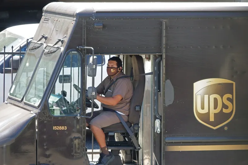
The city is aiming to make much of its centre car-free center in 2024, and will use the data to see how delivery vehicles to shops, offices and apartments use kerb space, park and move around.
This will inform decisions around decarbonisation and congestion reduction, as well as planning for the location of mobility hubs and last-mile deliveries.
“Cities are becoming increasingly crowded with micromobility, public transport, and logistics vehicles all vying for road and kerb space," says Thibault Castagne, co-founder and CEO at Vianova. "Only by collaborating and sharing data can we hope to build more sustainable and safer cities and improve the management of public spaces.”
The companies will analyse vehicle type, proximity to retail and duration of stops to build up a picture of activity.
Veronique Le Duff, senior business developer for Europe at Michelin Mobility Intelligence, said: “Demand for deliveries is only increasing in cities. By using Vianova’s mobility data platform, we hope to draw insights and analytics that can help our clients and city officials to make better decisions and help create healthier cities.”
Vianova says it takes data from more than one million connected vehicles every day, while Michelin will provide anonymised data to Vianova’s platform.
The idea is to move this beyond logistics vehicles planning, with Vianova aiming to develop further use cases around improving road safety through its Risk Aware Road Scoring module. This combines information from multiple sources to highlight road safety risks and interventions, including probe data (the position of individual vehicles over space and time) and accelerometer events (high speeding or hard-braking events in certain road segments or intersections) which are important indicators to calculate future crash risks.


