
Safety app connects Charlotte road users

City in North Carolina, US, has already published a Vision Zero plan
By Adam Hill November 24, 2022 Read time: 2 mins
TravelSafely is available in the Apple and Google stores and is designed to improve safety for motorists, pedestrians and cyclists (© ITS International)

The City of Charlotte, North Carolina, is piloting an app which gives users access to an electronic network of intersection and crosswalk data, as well as to each other.

TravelSafely is available in the Apple and Google stores and is designed to improve safety for motorists, pedestrians and cyclists.

It includes these features:

Get ready for green – Notifies users when the light is about to turn green.

Red light warning – Warns users approaching a red light if they are approaching the intersection too fast.

Slow speed zone warning - Notifies users if they are traveling too fast in a slow speed zone.

Cyclist ahead warning – Warns motorists if a cyclist is using the app on the road ahead.

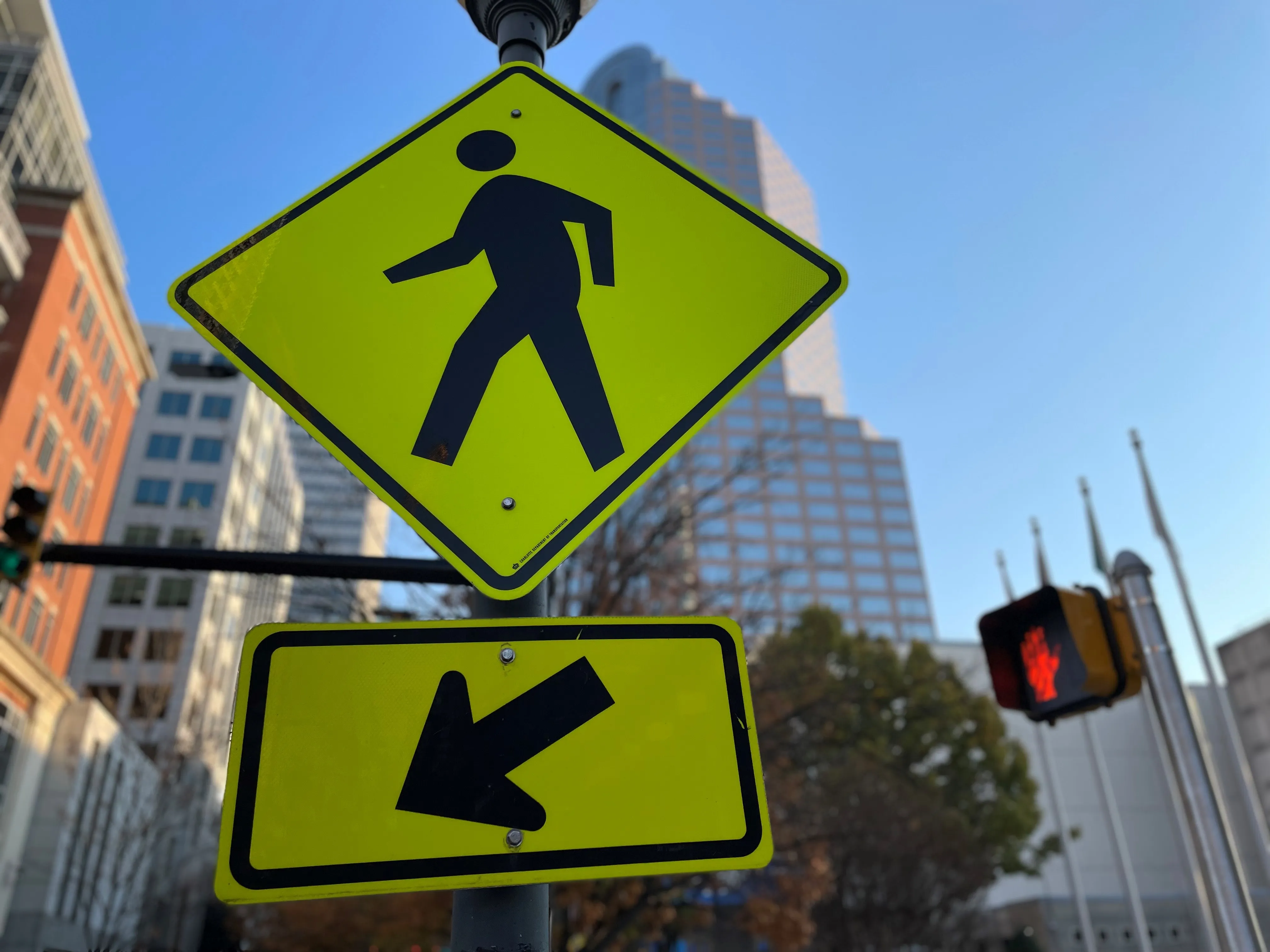
Pedestrian ahead warning – Notifies motorists of pedestrians using the app in the crosswalk ahead if it detects the motorist is not going to stop.

"We must work together to improve traffic safety and this app promotes connectivity to each other and to our surroundings," said Charlotte council member Victoria Watlington. 

The app is piloted in the South End area of the city and is part of Charlotte's Vision Zero safety initiative.

Justin Carroll, deputy director of Charlotte DoT, says it will "connect those who download the app to a network of traffic intersections, pedestrian beacons, motorists, cyclists and pedestrians".

The agency is collaborating with the Charlotte-Mecklenburg Police Department and Charlotte Center City Partners on the project.

A statement from the city warns: "Use of the TravelSafely app provides supplemental information to enhance driving decisions while following the rules of the road. All travelers utilising the app still need to remain alert and mindful of all responsibilities as a motorist, pedestrian, or bicyclist."

Related Content

  • December 8, 2021
    AWS finds new solutions
    Forward-thinking public agencies are turning to a new breed of solutions provider to address current traveller needs. They work with system integrators, independent software vendors, and consultants to innovate using Amazon Web Services (AWS) to improve traffic safety, construction project management, analytics and reporting, and secure identification. Phil Silver, a state and local government transportation leader at AWS, provides examples of how builders on AWS are transforming transport using technology
  • September 7, 2020
    Wireless sensor data is saving lives, says Sensys Networks
    ITS World Congress provides a unique opportunity to examine the latest innovative uses of traffic technology. One trend is the increased use of detection data - presence, volume, occupancy, and speed - to power dynamic information for drivers. And the benefits of this data go well beyond traffic information within mapping and navigation systems that are used by motorists to get to their destinations efficiently. This data can help save lives.
  • April 8, 2021
    Audi C-V2X tech to improve school safety
    Georgia deployment to gain insight over distance needed around school zones and buses
  • February 15, 2013
    Newcastle rush-hour traffic trials get the go-ahead
    Traffic trials aimed at streamlining the rush-hour commute in the UK’s north-east have been given the green light. The project in Newcastle involves new satellite navigation technology which helps drivers adjust their speed so they can pass through a series of lights on green. The European project is being led by Newcastle University and Newcastle City Council, and aims to reduce city centre congestion and pollution associated with stop-start driving. Phil Blythe, Professor of Intelligent Transport Systems