Safety app connects Charlotte road users

City in North Carolina, US, has already published a Vision Zero plan
By Adam Hill November 24, 2022 Read time: 2 mins
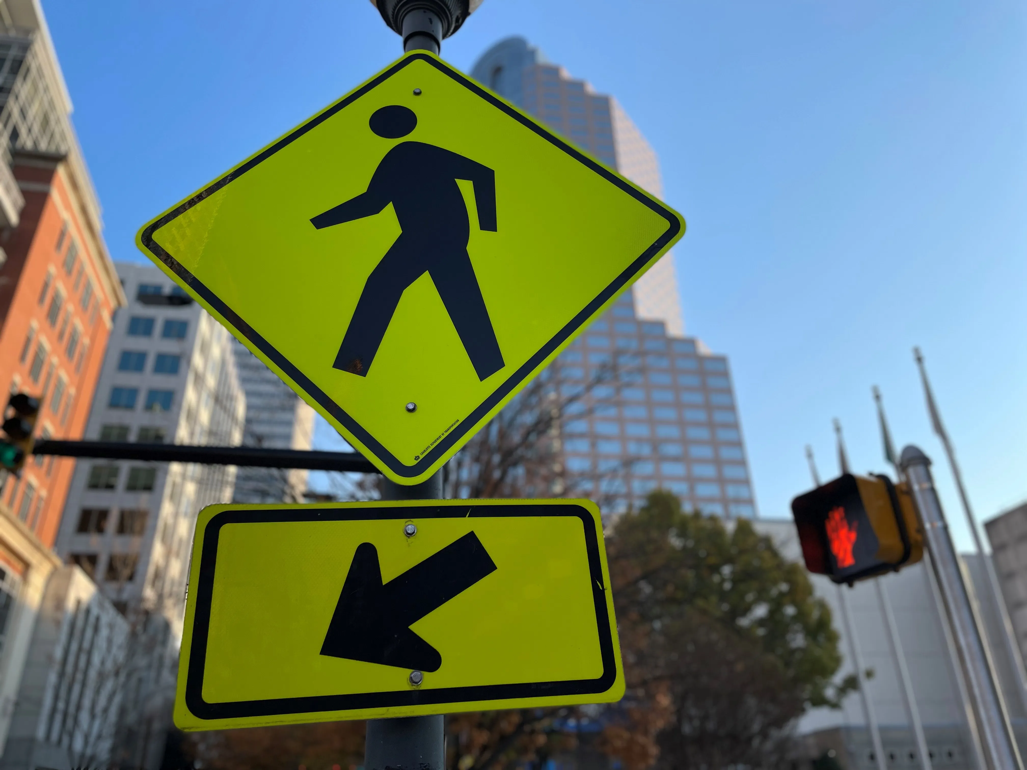
TravelSafely is available in the Apple and Google stores and is designed to improve safety for motorists, pedestrians and cyclists (© ITS International)

The City of Charlotte, North Carolina, is piloting an app which gives users access to an electronic network of intersection and crosswalk data, as well as to each other.

TravelSafely is available in the Apple and Google stores and is designed to improve safety for motorists, pedestrians and cyclists.

It includes these features:

Get ready for green – Notifies users when the light is about to turn green.

Red light warning – Warns users approaching a red light if they are approaching the intersection too fast.

Slow speed zone warning - Notifies users if they are traveling too fast in a slow speed zone.

Cyclist ahead warning – Warns motorists if a cyclist is using the app on the road ahead.

Pedestrian ahead warning – Notifies motorists of pedestrians using the app in the crosswalk ahead if it detects the motorist is not going to stop.

"We must work together to improve traffic safety and this app promotes connectivity to each other and to our surroundings," said Charlotte council member Victoria Watlington. 

The app is piloted in the South End area of the city and is part of Charlotte's Vision Zero safety initiative.

Justin Carroll, deputy director of Charlotte DoT, says it will "connect those who download the app to a network of traffic intersections, pedestrian beacons, motorists, cyclists and pedestrians".

The agency is collaborating with the Charlotte-Mecklenburg Police Department and Charlotte Center City Partners on the project.

A statement from the city warns: "Use of the TravelSafely app provides supplemental information to enhance driving decisions while following the rules of the road. All travelers utilising the app still need to remain alert and mindful of all responsibilities as a motorist, pedestrian, or bicyclist."

Related Content

  • Missouri’s smart solution for rural road monitoring
    July 7, 2017
    David Crawford sees how Missouri is using commercially available information to rapidly improve monitoring and driver information on rural highways. Missouri is a predominantly rural state with the second largest number of farms in the country and agriculture the main occupation in 97 of its 114 counties. US statistics starkly reveal how road accidents in rural areas tend to be more serious than in urban regions and of the 32,000 US motorists killed each year, 54% die on roads in rural areas even though onl
  • Integrate systems to reduce roadside infrastructure
    January 27, 2012
    David Crawford reviews promising current developments. Instrumentation of the road infrastructure has grown to become one of the most dynamic sectors of the ITS industry. Drivers for its deployment include global concerns over the commercial and environmental pressures of traffic congestion, the importance of keeping drivers informed throughout their journeys, and the need to reduce accident rates and promote the safety of all road users, for example by enforcing traffic safety rules.
  • Derq deploys VRU protection
    June 14, 2022
    Demo for Florida DoT shows edge capabilities to improve safety for cyclists and pedestrians
  • Progressing work zone safety systems
    February 1, 2012
    David Crawford investigates progress in a key safety area - work zones. Highway construction zone safety is taken seriously enough in the US to merit a special spring National Work Zone Awareness Week, which in 2010 ran from 19-23 April. Headed by the US Department of Transportation's Federal Highway Administration (FHWA), this aims to reduce an annual toll of work zone deaths - 720 in 2008 (an average of one every 10 hours) with more than 40,000 traffic injuries (an average of one every 13 minutes).