Valerann is delivering its data fusion platform under the Enhancing Motorway Operation Services (eMOS) programme being delivered by Transport Infrastructure Ireland (TII) and a joint venture between Roughan & O’Donovan and Aecom.
It has deployed Lanternn by Valerann to pilot the benefits of data fusion on parts of the motorway network to enhance road safety and incident detection.
The AI-powered solution analyses data from existing roadside infrastructure, third-party sources, historical incident data and weather data. It then delivers a detailed real-time overview of the road traffic situation and an accurate prediction of potential road incidents on a single platform.
The deployment focuses on sections of two key motorways in Ireland - the M1 and M6. The objective is to assess the potential for using deep data fusion from third-party sources to provide improved situational awareness. This will supplement information gathered from fixed intelligent transport systems.
Valerann aims to demonstrate the added value of adopting a data fusion approach. This should provide insights to control room operators in the Motorway Operations Control Centre in Dublin. This would assist in enhancing TII’s situational awareness and understanding of traffic conditions on these motorways, particularly in areas with lower-level ITS and CCTV coverage.
If successful, this evaluation will focus on reducing the reliance by operators within the Dublin control centre on manual event verification. The aim is to improve detection and classification of road incidents and reduce response times.
Michael Vardi, Valerann’s co-founder and chief business officer, said that using his company’s technology will bring “a new dimension of intelligence and efficiency” to the motorway network in Ireland: “This project is not just about enhancing road safety and incident response, but setting a new standard for ITS enabled proactive road management.”
“This collaboration underscores Transport Infrastructure Ireland’s dedication to embracing emerging technological solutions to support the operation of Ireland’s motorway network,” said Lewis Feely, director of Roughan & O’Donovan, a civil, environmental and structural engineering consultancy.
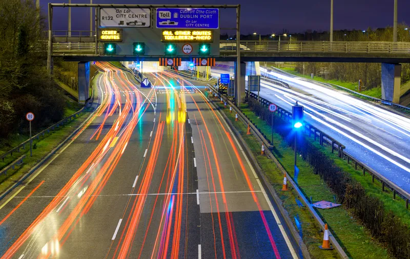
Ireland’s eMOS programme is designed to enable TII to react to real-time events on motorways, display lower speeds and lane control signals on new digital signs installed on overhead gantries on the M50 motorway and, in turn, enhance protection for emergency responders when dealing with incidents.
It will also enable TII to keep road users better informed about incidents ahead and how they may affect journey times and routes.


