Researchers from the Austrian Institute of Technology (AIT), in cooperation with Transoft Solutions, have developed a solution for measuring traffic conditions and ‘conflicts’ between vehicles on the road.
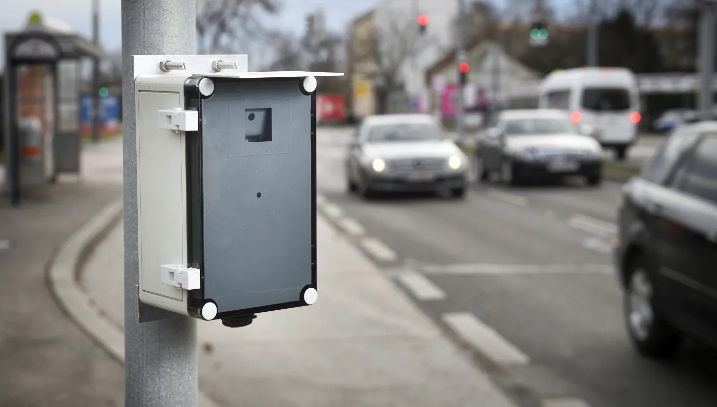
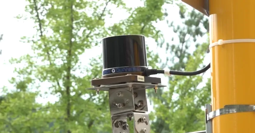
The Mobility Observation Box (MOB), which sits at the roadside, collects video data on the effects of various infrastructural and traffic engineering measures on the risk of collisions and injuries.
It makes it possible to measure the safety of transport infrastructure according to objective criteria. This means, AIT says, that it allows comparable, meaningful risk-based assessment of data.
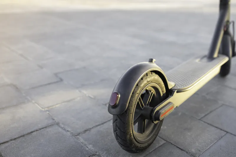
Machine learning algorithms and artificial intelligence automatically recognise different groups of road users – such as pedestrians, cyclists, cars, trucks or e-scooters – and evaluate how they move, which provides a basis for targeted mitigation measures.
All road users within a traffic scene can be monitored to a high degree of precision, in a repeatable and unobtrusive way. Each road user is detected, classified, and tracked.
This data is then used to assess and provide metrics on road safety (such as near-collision and speeding incidents), as well as traffic flow conditions (volumes and speeds, for example). A better understanding of the conditions which lead up to a collision helps road authorities to improve infrastructure without relying solely on historical collision data.
MOB can also be used to plan or retrofit road systems to determine cost-effective recommendations for specific traffic safety measures.
The battery-operated system is quick and easy to install and de-install and does not require a supplemental power source. As it is small, traffic is not distracted or influenced by the MOB’s presence, the researchers say.


