
Bluecity Lidar helps plan Pune intersection

Indian city wants to understand road user behaviour prior to infrastructure changes
By Adam Hill September 9, 2022 Read time: 1 min
Pune's authorities want to be sure their planning reflects real-life road use (© Sergey Frolov | Dreamstime.com)

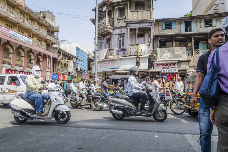
The city of Pune, in the western Indian state of Maharashtra, has chosen Lidar specialist Bluecity for a pilot project around intersection safety.

The company's Lidar and AI-powered technology is being employed to help city authorities understand road user behaviour at a busy intersection "with many smaller arteries connecting to it" and where major infrastructure changes are planned.

The road is to be widened, and city authorities want to be sure their planning reflects real-life road use.

Bluecity says its solution provides real-time multimodal data - anonymised to prevent privacy concerns - and can detect and identify all road users, including vehicles, cyclists and pedestrians. 

Following a demonstration of the technology by Bluecity and a local integrator, the city decided to install one Lidar sensor at the intersection.

The 3D high-resolution sensor can detect and classify traffic data in any weather or lighting condition, the company says; this is then analysed by the Bluecity iQ platform, allowing Pune's authorities to visualise traffic patterns. 

Bluecity says one sensor is all that is required in most cases for full coverage of an intersection and installation is quick and easy. 

Following this pilot project, Bluecity says Pune will be looking at installing the technology at other intersections. 

For more information on companies in this article

Related Content

  • Bridging the highway travel information gap
    March 14, 2012
    A new traffic management solution is attempting to bridge the gap in information available on freeways and arterial roadways. Andrew Bardin Williams reports. Agencies responsible for national networks of roads around the world have the ability to measure, analyse and disseminate accurate travel information to drivers. Millions of dollars go into data collection infrastructure to collect traffic congestion and travel time information on major freeways or highways. For example, a driver on the I-210 in the Lo
  • Weigh in Motion gets smarter
    January 4, 2023
    Weigh in Motion technology is at the forefront of protecting road surfaces and helping enforcement activity – but could it also play a key role in the development of Smart Cities?
  • PTV to model Hamburg multimodal transportation system
    September 25, 2023
    German city aims to see 80% of all trips made via sustainable modes by 2030
  • Venice lines up sustainable transport picks
    December 26, 2024
    Toyota Mobility Foundation's $9m Sustainable Cities Challenge continues