Bluecity Lidar helps plan Pune intersection

Indian city wants to understand road user behaviour prior to infrastructure changes
By Adam Hill September 9, 2022 Read time: 1 min
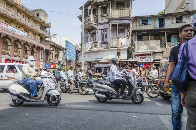
Pune's authorities want to be sure their planning reflects real-life road use (© Sergey Frolov | Dreamstime.com)

The city of Pune, in the western Indian state of Maharashtra, has chosen Lidar specialist Bluecity for a pilot project around intersection safety.

The company's Lidar and AI-powered technology is being employed to help city authorities understand road user behaviour at a busy intersection "with many smaller arteries connecting to it" and where major infrastructure changes are planned.

The road is to be widened, and city authorities want to be sure their planning reflects real-life road use.

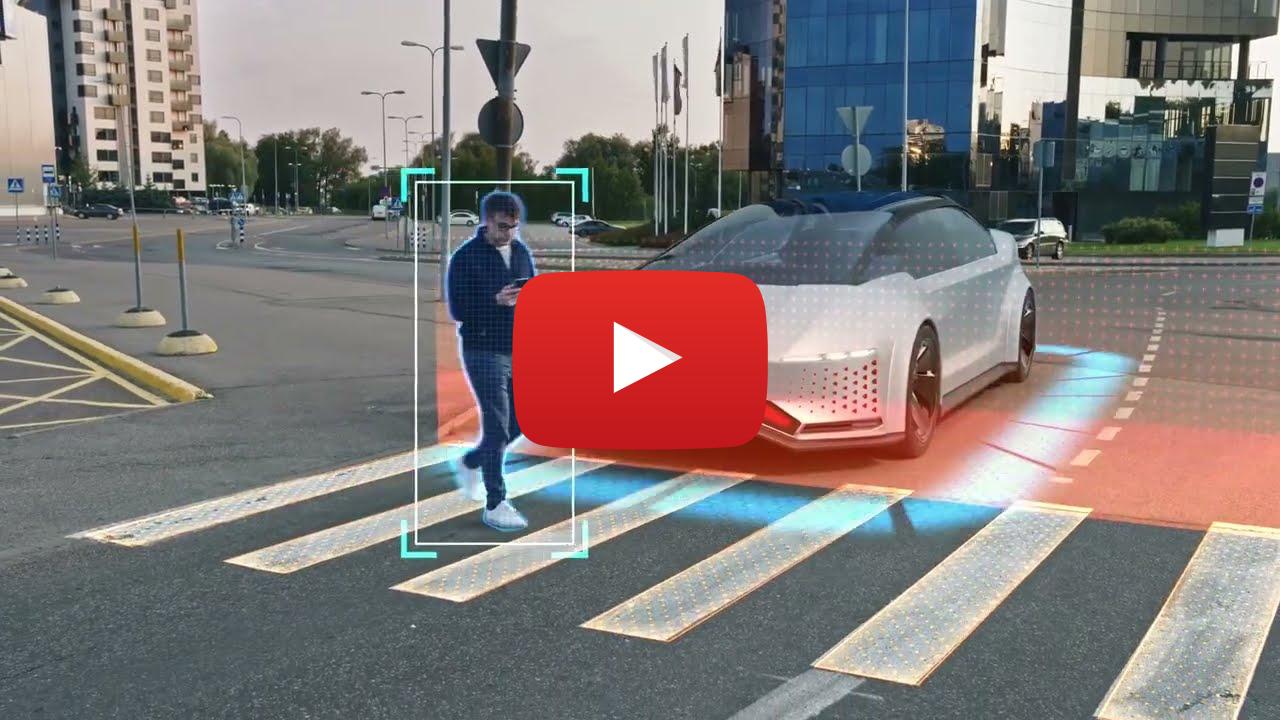
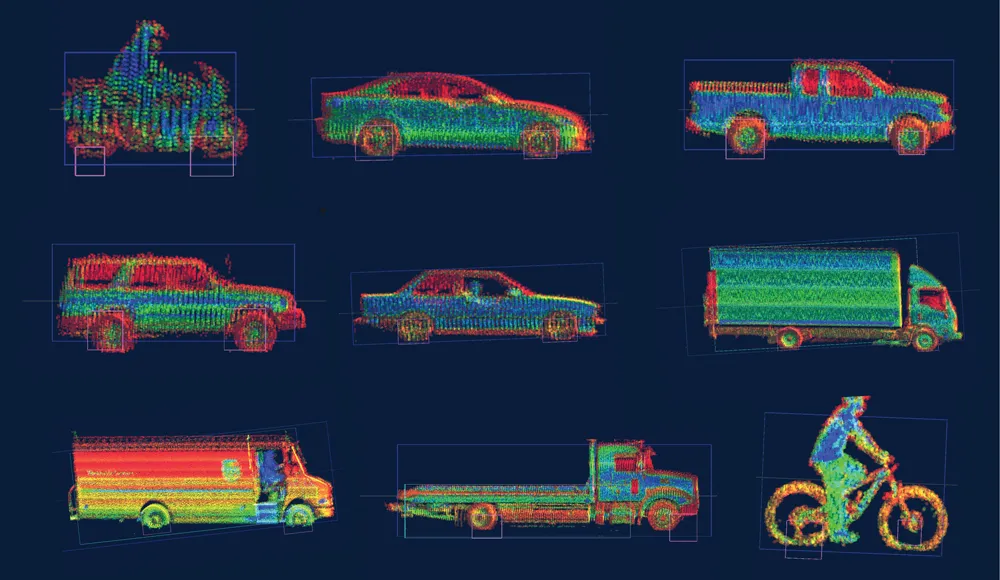
Bluecity says its solution provides real-time multimodal data - anonymised to prevent privacy concerns - and can detect and identify all road users, including vehicles, cyclists and pedestrians. 

Following a demonstration of the technology by Bluecity and a local integrator, the city decided to install one Lidar sensor at the intersection.

The 3D high-resolution sensor can detect and classify traffic data in any weather or lighting condition, the company says; this is then analysed by the Bluecity iQ platform, allowing Pune's authorities to visualise traffic patterns. 

Bluecity says one sensor is all that is required in most cases for full coverage of an intersection and installation is quick and easy. 

Following this pilot project, Bluecity says Pune will be looking at installing the technology at other intersections. 

For more information on companies in this article

Related Content

  • Airborne traffic monitoring - the future?
    March 1, 2013
    A new frontier in the quest to monitor road traffic is opening up… but using airborne drones to reduce the jams comes with some thorny issues. Chris Tindall reports. Imagine if you could rely on a system that provided all the data you needed to regulate traffic flow, route vehicles and respond swiftly to emergencies for a fraction of the cost of piloting a helicopter. That system exists, but as engineers and traffic managers start to explore the potential of unmanned aerial vehicles (UAVs) – more commonly k
  • Vaisala forecasts the Xweather
    October 3, 2022
    Data ranges from road conditions and air quality to heat wave detection and lightning strikes
  • AEye: Benefits of Lidar for Intelligent Transportation Systems
    March 14, 2022

    Lidar, the next big step in sensor technology, complements radar and cameras to ensure better, more accurate traffic information for cities and municipal authorities.

    Lidar specialist AEye outlines the ways in which 3D-precision will keep all road users – including cyclists and pedestrians – safer while reducing congestion and improving quality of life.

    Sponsored content produced in association with AEye

  • The benefit of Lidar: touch, don’t look
    September 28, 2020
    The benefits of Lidar as a safety device for automobiles rather than as an enabler for AVs are easy to overlook – but Dr Jun Pei of Cepton Technologies tells Adam Hill why that would be a big mistake