Portland Bureau of Transportation and San Francisco Municipal Transportation Agency will be the first public agencies to use Inrix’s new IQ Curb Analytics.
The cloud-based tool digitises and visualises the kerbside to help cities maximise accessibility, availability, revenue and safety for people driving, walking and riding on micromobility devices.
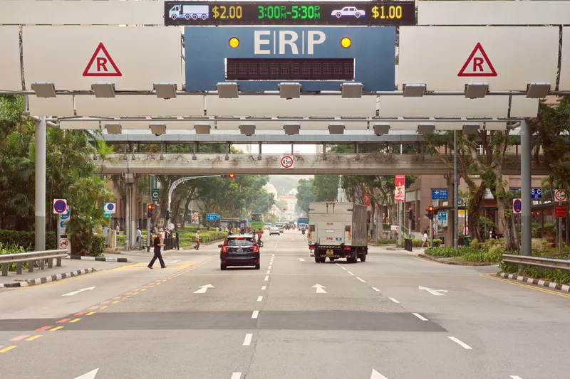
Portland is implementing a Zero Emissions Delivery Zone and San Francisco is starting its first publicly available citywide digital kerb regulation and asset inventory.
Most land managed by cities is comprised of the public right of way, and one of its most undervalued resources is the kerb. Post-Covid consumer trends have only increased competing uses, from food delivery to ride-hail to e-commerce to the burgeoning applications of micromobility corrals.
“Whether kerbs are being used for parking, deliveries, ride-hail, outdoor dining, bike lanes, bus lanes or countless other utilisations, they’ve become one of the most valuable real estate assets managed by cities,” said Ahmed Darrat, chief product officer at Inrix.
“Kerbs are complex entities that require meticulous planning to maximise their use. Curb Analytics leverages Inrix’s robust datasets across traffic, incident, parking and safety to provide a comprehensive digital view of kerb usage in cities across the US and Europe.”
Inrix IQ Curb Analytics leverages historical, real-time and predictive data to understand occupancy and efficiently manage kerbs for parking, deliveries, micromobility corrals and public transportation. This is the first Inrix product integrated with newly-acquired Ride Report, incorporating micromobility data from more than 400 sources.
Curb Analytics presents a visualisation of curbside and off-street parking inventory in over 125 cities globally, fully digitised out-of-the-box.
Inrix says this empowers city staff to take a data-driven approach to parking and kerbside management by ensuring policies best meet availability goals to reduce localised congestion. The product's API (application programming interface) can communicate both real-time and predicted availability to guide drivers to areas with the best chance of finding a parking or loading space.
The underlining datasets are already being consumed by numerous fleet operators such as ride-hail, freight delivery and food delivery companies. Since the data is collected and processed in near-real time, Curb Analytics doesn’t require additional maintenance costs for agency staff or consultants.
With the addition of bicycles, e-bikes, e-scooters, carshare and micromobility freight data, Inrix says it now offers a comprehensive set of mobility insights to help agencies make and execute policy decisions to better manage the public right-of-way.
Inrix Curb Analytics is immediately available in more than 125 cities worldwide.