Tattile offers Stark contrast

Application framework layer will provide scalability for operations with new-gen cameras
By Adam Hill December 7, 2022 Read time: 1 min
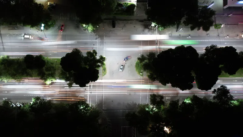
Stark's modular design means it can be extended to meet all application needs (© Sergey Panikhin | Dreamstime.com)

Tattile has developed Stark (Standard Tattile Architecture), an application framework layer common to all new-generation Tattile cameras.

The company says it is built to support a modular software structure, fast development, and easy integration of new features and edge algorithms, providing scalability over a wide range of Tattile devices.

The modular design means it can be extended to meet all application needs, with continuous integration and testing of the whole system "even in the worst working conditions to guarantee stability and reliable results", Tattile continues.

The product also has high-performance processing, with standard, legacy, and fully-customisable communication protocols supported, including API Rest for seamless integration with third-party back-office systems.

Stark also has a responsive and intuitive web interface with easy camera deployment and configuration, Tattile concludes.

Other features include a quick configuration wizard, intuitive access to device functionalities, configuration self-check and diagnostic report plus quick performance and results overview.

For more information on companies in this article

Related Content

  • InfoConnect delivers accurate travel information on all levels
    August 1, 2012
    Deryk Whyte provides an overview of how the New Zealand Transport Agency's InfoConnect concept was developed. Historically, the New Zealand Transport Agency (NZTA) (formerly Transit New Zealand) has faced challenges in communicating effectively with road users, its customers, about highway-related events or incidents in a timely, accurate manner. Prior to 2007, Transit relied on a third-party organisation to collect and disseminate national road condition information. This often resulted in incomplete infor
  • Entering the ANPR sector with Plate-i Dome
    April 11, 2024
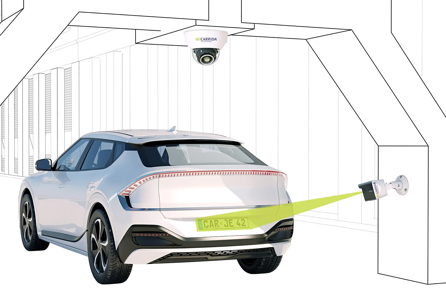
    Carrida's product is an 'entry-price' camera with a large detection range of 16m
  • GIS mapping smoothes ITS operations and increases efficiencies
    January 30, 2012
    Alexander Gerschenkron, the famous economic historian, once posited a benefit for those countries which come late to economic development: that they could introduce the latest technology and thus jump over some of the standard development paths followed by their predecessors . It is entirely possible to make the same observation of late-comers to ITS: that they can gain from the pains of those who went before and more easily implement best practice in ITS. As a consequence, it is entirely likely the Abu Dha
  • Huawei addresses congested, separated rail networks with cloud solution
    December 20, 2024
    A shift to a cloud-based operating regime solves the problems of trying to make cluttered, geographically-discrete terrestrial systems work together