Telenav finds way with Iteris’ ClearData

Traffic and travel information product also offers safety scores on driver behaviour
By David Arminas June 10, 2024 Read time: 2 mins
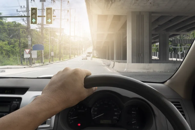
Traffic updates should lead to safer, more efficient journeys (© Thongchai Nakim | Dreamstime.com)

Telenav, a provider of connected car and location-based services, has chosen Iteris’ ClearData as its source for traffic and travel information.

ClearData aggregates and validates mobility data such as incident, speed and connected vehicle probes. It then delivers it to public- and private-sector clients via subscription-based direct computer data feeds or application programming interfaces (APIs). 

Telenav is now leveraging ClearData to help inform and coach drivers in its Scout Maps application.

Scout Maps is a mobile and in-car app that provides live traffic updates, speed limit alerts and navigation tips. Key functionalities include calculating and offering options of alternative safer routes, offering real-time traffic and speed updates and giving users a “safety score” which provides them with insights into their driving behaviour -  such as hard braking, speeding and hard acceleration 

Iteris says that parents could monitor their teenagers' driving ability as they begin driving with a licence, for example.

With ClearData providing live traffic conditions on the roads, flow speed, incidents and more, the firms say Scout Maps users will get more accurate estimated time of arrival at their destination during rush hours, avoid roads with congestions and accidents and choose routes with less probability of having accidents en route.

“With the addition of our proprietary mobility data, Telenav’s solutions will be able to provide even more precise safety scores and navigation for their users,” said Will Cousins, senior vice president and chief product officer at Iteris.

“A key part of Telenav’s mission is to connect cars and users in a way that makes driving safe and convenient,” said Ahsan Habib, vice president of professional services at Telenav. “With the addition of ClearData’s dynamic data points, we’ll be able to enhance our navigation capabilities and more easily create the connected, convenient and safe experience we strive for.”

ClearData is a key component of the Iteris ClearMobility Platform for monitoring, visualising and optimising mobility infrastructure worldwide.

For more information on companies in this article

Related Content

  • Modelling MaaS and making it happen
    June 15, 2017
    Colin Sowman looks at some of the emerging technology being introduced to evaluate and operate Mobility as a Service. The fast-growing interest in Mobility-as-a-Service (MaaS) has prompted the creation of a host of software systems for those wanting to become a MaaS provider or participate in MaaS offerings. Most recently, at ITS International’s MaaS Market conference, Portuguese company Brisa Innovation announced a name change to A-to-Be to reflect its increasing involvement in the MaaS sector with the lau
  • Vaisala's RoadAI can optimise maintenance
    August 20, 2019
    Alerts for natural disasters are ones that most of us would rather do without, writes Adam Hill. But the ITS industry still needs help to deal with more common meteorological issues Google Maps has added SOS alerts to its service. For those of us more used to using the phone app to navigate from a metro station to an unfamiliar restaurant, this may seem extreme. But this is not what Google has in mind. Its SOS messages are for “hurricane forecast cones, earthquake shake-maps and flood forecasts”. That
  • Advances in real time traffic and travel information
    March 16, 2012
    David Crawford admires TomTom’s flying start to 2012. Gobal location and navigation equipment supplier TomTom rang in 2012 with two strategically important announcements. First was the signing of a deal with Korean electronics giant Samsung, representing an important consolidation of its position in the consumer market. Under this agreement, TomTom maps and location content will power the Samsung Wave3 smartphone, launched in autumn 2011. TomTom data will support navigation and search-and-find applications
  • Joining the dots: four ways to help cities make the connection
    May 18, 2018
    Smoothing the path to connected transportation systems in urban areas all round the world takes a lot of planning: Cisco’s Kyle Connor lays out the four key areas on which he thinks cities should focus. Forward-thinking cities around the world are exploring innovative, new ways to leverage the Internet of Things (IoT) and related technologies to create more connected and efficient transportation systems. Through greater digitisation and connectivity, cities can optimise public transit routes, reduce