
Telenav finds way with Iteris’ ClearData

Traffic and travel information product also offers safety scores on driver behaviour
By David Arminas June 10, 2024 Read time: 2 mins
Traffic updates should lead to safer, more efficient journeys (© Thongchai Nakim | Dreamstime.com)

Telenav, a provider of connected car and location-based services, has chosen Iteris’ ClearData as its source for traffic and travel information.

ClearData aggregates and validates mobility data such as incident, speed and connected vehicle probes. It then delivers it to public- and private-sector clients via subscription-based direct computer data feeds or application programming interfaces (APIs). 

Telenav is now leveraging ClearData to help inform and coach drivers in its Scout Maps application.

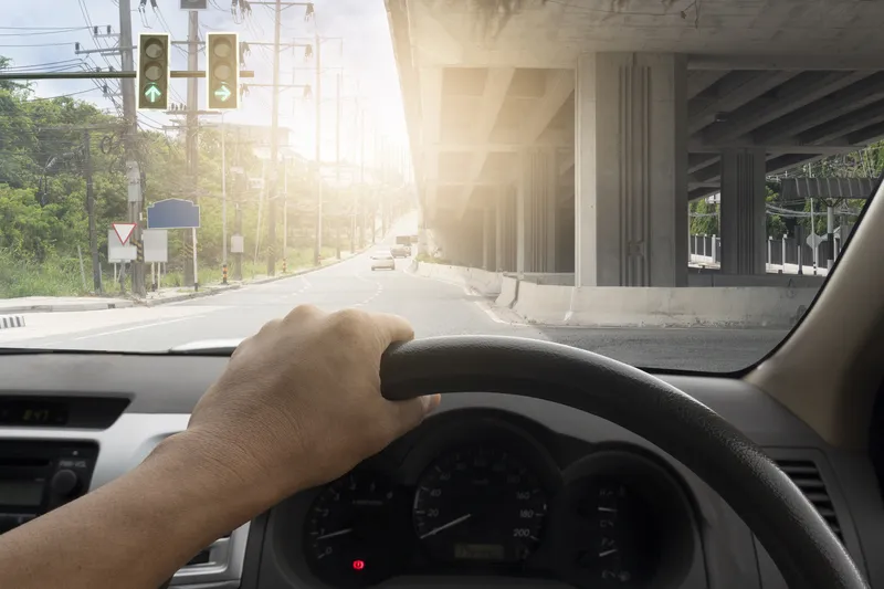
Scout Maps is a mobile and in-car app that provides live traffic updates, speed limit alerts and navigation tips. Key functionalities include calculating and offering options of alternative safer routes, offering real-time traffic and speed updates and giving users a “safety score” which provides them with insights into their driving behaviour -  such as hard braking, speeding and hard acceleration 

Iteris says that parents could monitor their teenagers' driving ability as they begin driving with a licence, for example.

With ClearData providing live traffic conditions on the roads, flow speed, incidents and more, the firms say Scout Maps users will get more accurate estimated time of arrival at their destination during rush hours, avoid roads with congestions and accidents and choose routes with less probability of having accidents en route.

“With the addition of our proprietary mobility data, Telenav’s solutions will be able to provide even more precise safety scores and navigation for their users,” said Will Cousins, senior vice president and chief product officer at Iteris.

“A key part of Telenav’s mission is to connect cars and users in a way that makes driving safe and convenient,” said Ahsan Habib, vice president of professional services at Telenav. “With the addition of ClearData’s dynamic data points, we’ll be able to enhance our navigation capabilities and more easily create the connected, convenient and safe experience we strive for.”

ClearData is a key component of the Iteris ClearMobility Platform for monitoring, visualising and optimising mobility infrastructure worldwide.

For more information on companies in this article

Related Content

  • Nokia announcement is game changer for global navigation industry
    June 6, 2012
    Nokia has announced plans to release a new version of Ovi Maps for its smartphones that includes high-end walk and drive navigation at no extra cost, available for download at www.nokia.com/maps. This move has the potential to nearly double the size of the current mobile navigation market.The new version of Ovi Maps includes high-end car and pedestrian navigation features, such as turn-by-turn voice guidance for 74 countries, in 46 languages, and traffic information for more than 10 countries, as well as de
  • Risk Technology partners with Quantum Inventions on driver behaviour
    August 4, 2015
    Next generation telematics specialist, Risk Technology, has signed a regional partnership with Singapore-based Quantum Inventions (QI). The two companies are developing a solution that enables users to see driver behaviour information through the same device. QI develops and deploys dynamic navigation, routing and traffic information services for consumers, enterprises and government systems. The company delivers its connected services integrating real-time traffic, map, navigation and other context-sens
  • Optibus makes GTFS Manager available in Europe
    March 1, 2024
    First stop for General Transit Feed Specification is partnership with Geoactio in Spain
  • Inrix aids authorities in dealing with data
    August 18, 2015
    New traffic data products and services have been launched to aid transport and urban planners and business with detailed intelligence on journey patterns, reports Jon Masters. Manual travel surveys ought soon to become a thing of the past for transport planners and the business community. The technology now exists for getting sophisticated levels of traffic and trip data from connected vehicles. Cars and commercial fleets carrying a GPS device, or a mobile phone or smartphone are the sources of the informat