Vancouver moves quickly on 'slow streets'

Plans include wider pavements and vehicle lanes set aside for walking and cycling
By David Arminas June 2, 2020 Read time: 1 min
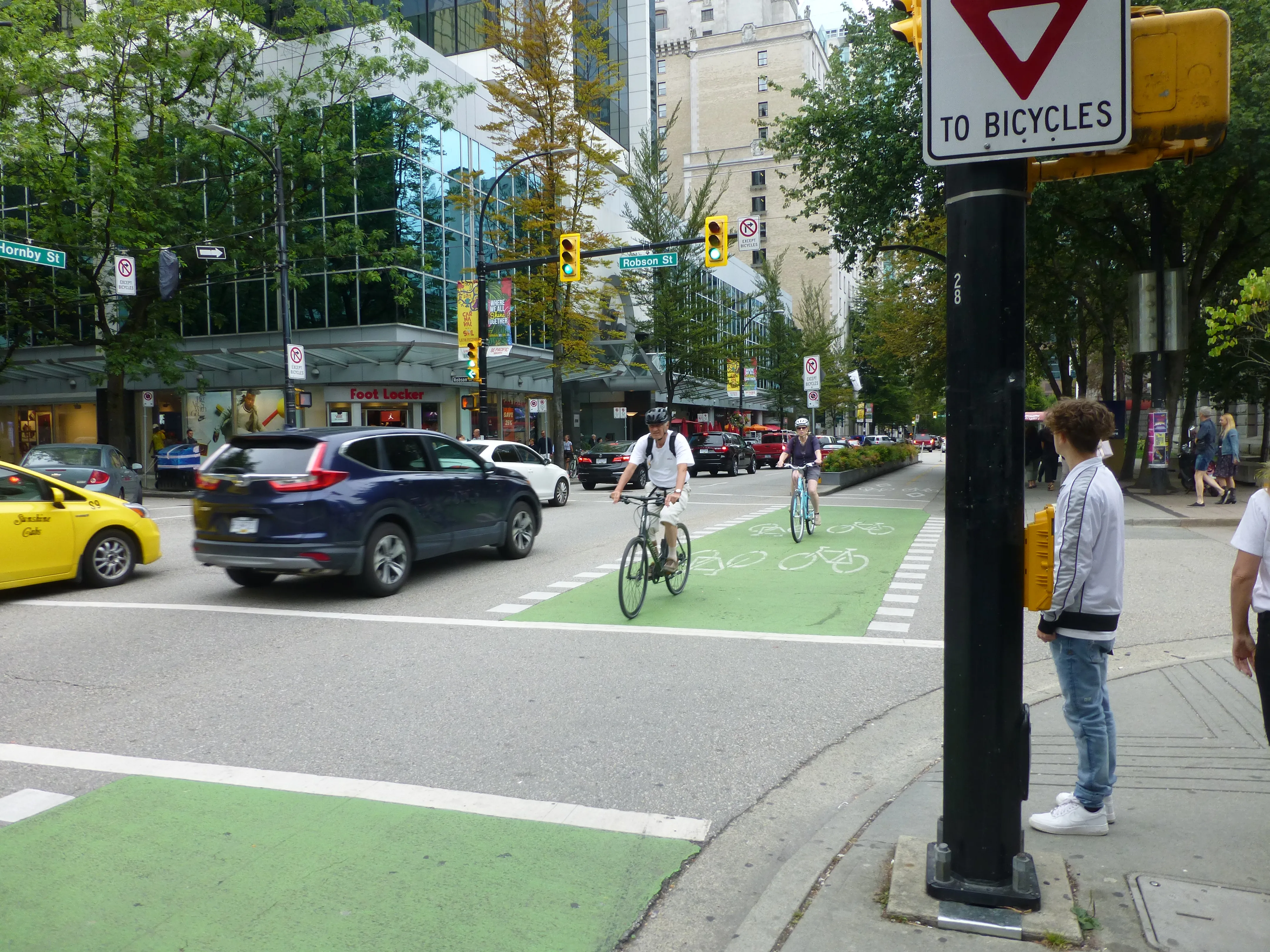
Vancouver to 'repurpose' some streets to help with Covid recovery (© David Arminas)

Vancouver plans to install 50 km of “slow streets” for walking, cycling and for business and restaurant patios as part of a Covid-19 recovery plan.

The western Canadian city said that the plans are to help residents and businesses adapt to the new reality of living and operating through a pandemic.

Already 12km has been set aside, according to media reports.

“We will work closely with businesses and community partners to address needs for space while also ensuring our streets and public spaces remain safe and accessible,” said Lon LaClaire, general manager of the city’s engineering services.

Guidelines for what it calls the “repurposing” of parts of streets will be drawn up this month.

Roads and areas for repurposing include parking spaces and vehicle travel lanes on arterial streets.

Some residential streets will become “slow streets” by allowing local traffic only in order to create space for foot and bicycle traffic, according to the city.

Pavements for queuing at businesses will be extended into kerb lanes to provide space for people to line up and also give pedestrians room to safely pass by.

Short-term loading and pick-up zones will be created near businesses with high turnover of products.

Related Content

  • Electreon completes first US dynamic charging project
    December 8, 2023
    Testing of inductive charging technology along the Detroit road will start next year
  • Greenowl brings bespoke traveller information one step closer
    June 4, 2015
    Greenowl’s voice-only congestion warning smartphone app alerts drivers to problems ahead and could be the way ahead for traffic information. If there is one point Matt Man, CEO of Canadian company Greenowl, wants to make clear from the start, it is that his company’s app is not a navigation system. He says: “Our system does not direct drivers to their destination because we mainly focus on commuters who know how to get to where they are going and only need information about any delays and incidents ahead of
  • Asking drivers what information they need: radical but effective
    March 19, 2014
    When Texas A&M Transportation Institute was asked to devise a temporary traveller information system for work zones, it started by asking drivers what they need. Robert Brydia explains the thinking, implementation and results. US Interstate 35 (I-35) runs roughly north–south originating in Laredo, Texas and ends 1,500 miles away in Duluth, Minnesota having passed through Oklahoma, Kansas, Missouri and Iowa. Within Texas the I-35 splits into I-35E and I-35W passing through Dallas and Fort Worth respectiv
  • Intelligent crossing points leads to safer future for pedestrians
    May 19, 2014
    An innovative project at a busy UK retail park could provide the blueprint for a new approach to pedestrian safety, according to its developers. The system utilised hard-wired active flashing LED road studs from Rennicks UK to delineate the crossing, in conjunction with LED warning signs from Swarco. Pole-mounted C-Walk pedestrian detectors from Flir activate the high performance LED studs to create a striking visual warning for motorists approaching an internal crossing at Giltbrook, near Nottingham.