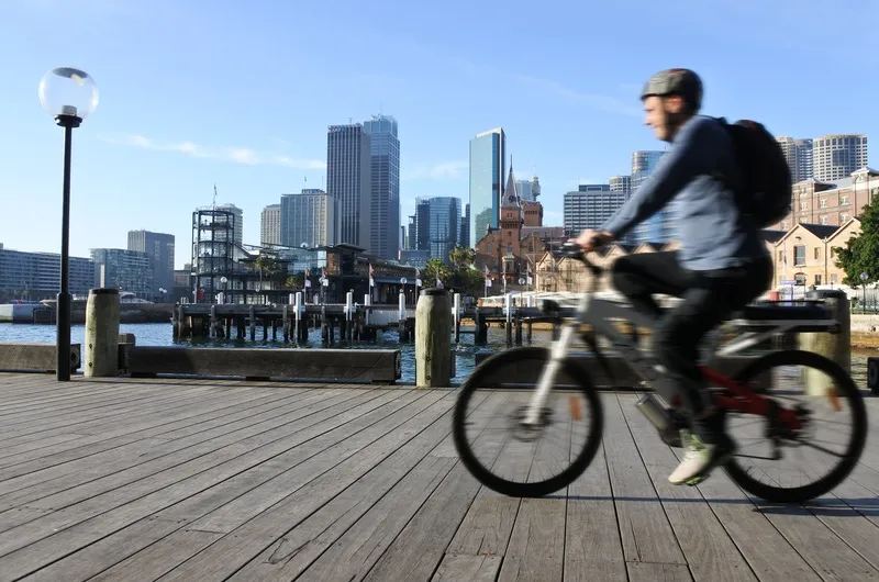
In common with many cities worldwide, cycling and walking are seen as sensible ways of getting commuters to work as coronavirus lockdowns ease.
A statement from the City of Sydney: “More road space will be reserved for cycling as part of our plan to help people move around while physically distancing.”
The scheme is being carried out with Transport for New South Wales (NSW).
Andrew Constance, minister for transport and roads, said: “We are already seeing our public transport system at capacity during peak periods with the need to physical distance and we want to offer the community more options to make their journeys safer."
The new routes are:
- Bridge Road / Pyrmont Bridge Road at Pyrmont;
- Pitt St North in the CBD;
- Moore Park Road in Paddington / Moore Park;
- Dunning Avenue at Rosebery;
- Sydney Park Road in Alexandria / Erskineville
- Henderson Road at Eveleigh
NSW Government and the city are also considering more temporary cycleways on Oxford St in Paddington/Darlinghurst, King St, College St and Castlereagh St in the CBD, and King St in Newtown.
The existing pop-ups will be monitored 'closely' and more 'hot spots' will be identified.
In Camperdown, Ultimo and Bridge Road between Annandale and Pyrmont, new 40km/h zones will be piloted in conjunction with the cycling measures "to provide safe route options for commuters and pedestrians".
"There’ll also be fast-tracked temporary footpath widening in areas of high pedestrian activity in the city centre, and for local businesses in inner-city village centres and along main streets," the statement continued.
Main streets in Newtown, Surry Hills, Darlinghurst, Potts Point, Ultimo and Glebe are "top priority for providing extra space for people to walk and to support local businesses".
NSW Government plans to invest $600 million into walking and cycling infrastructure over the next four years.
"The infrastructure we’ve chosen will be quick and simple to build, adaptable and inexpensive," the city authorities insist.
Sydney's car-free zone in George Street is also to be extended.