
Swedish public transport map asks people to walk instead

Västtrafik creates new route map detailing how many footsteps are between stops
By Adam Hill July 1, 2020 Read time: 1 min
Västtrafik's new 'walking' map of Gothenburg (credit: Forsman & Bodenfors)

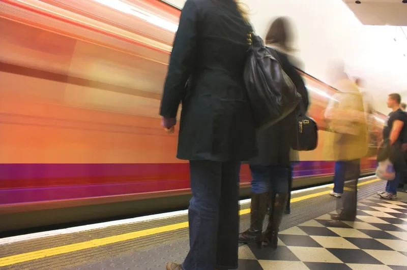
A public transport company in the city of Gothenburg, Sweden, is asking travellers to walk rather than take its buses and trams.

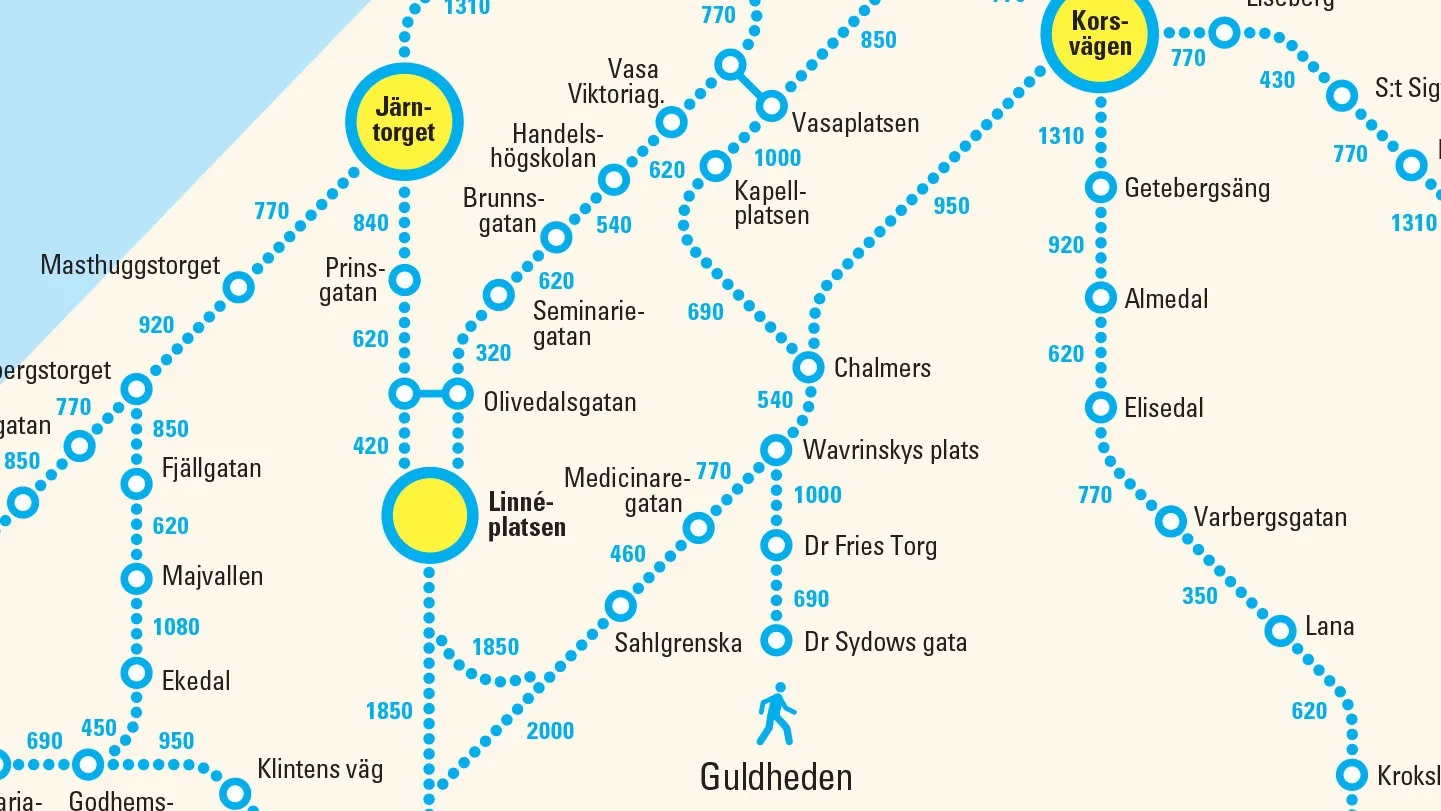
To promote social distancing and to ease overcrowding, Västtrafik has produced a new version of its map showing the number of steps between bus and tram stops in the city - calling it "a simple reminder that distances are actually quite short in the city centre".

“If more people have the possibility to walk instead of taking the bus or tram in Gothenburg, we encourage that," said Lars Backström, CEO of Västtrafik. 

"That way we make it safer for those who really need to use public transport."

The company says that people are already choosing alternatives to public transport post-Covid, taking the bus or cycling to work. 

More than 30% claim they walk more now compared to before the pandemic, it adds.

The new map is featured in print adverts and on billboards as part of an initiative created by Forsman & Bodenfors.

For more information on companies in this article

Related Content

  • UK gov launches transport inclusivity campaign
    March 10, 2020
    The UK Department for Transport (DfT) has launched a campaign to make transport more inclusive for disabled passengers. 
  • MaaS Market Conference examines transportation’s new options
    January 9, 2018
    Second MaaS Market conference highlights pilots and fledgling services from around the world. That a revolution in the provision of transport services is underway is no longer in doubt. The only uncertainties are the precise form that revolution will take; who will be the winners and losers; and how long it will be before it takes root. Driven by passionate advocates of Mobility as a Service or – MaaS – a wide range of projects and different approaches are being developed worldwide. It is that move from
  • Open data gives new lease of life to public travel information screens
    March 4, 2014
    David Crawford finds resurgent interest in travel information screens for buildings. With city governments worldwide increasingly opening up and sharing their public transport data for general use, attention is focusing on the potential financial benefits – to transit operators and businesses more widely. Professor Stephen Goldsmith, who directs the US’ Harvard University’s Data-Smart City Solutions Project says: “Amid nationwide public-sector budget cuts, open data is providing a road map for improving tra
  • StreetLight Data maps future
    February 20, 2019
    Laura Schewel of StreetLight Data talks to Adam Hill about the importance of measuring what you do – and about how paint will remain perhaps the most important piece of technology in the city planners’ armoury for a decade to come Transportation is dangerous, responsible for 30% of global cargo emissions today. Some experts believe that it will be responsible for 80% by 2050. And that’s before you even get on to the safety question - just ask tech entrepreneur Laura Schewel. “Transportation is getting wo