“Covid-19 has highlighted the near impossible situation that cities and transit agencies are facing: efficiently moving more people in as little space as possible is now a liability, not an asset,” writes Remix head of marketing Caroline Ang Wright.
“Costs are rising steeply as funds are depleted. Major service adjustments are needed immediately.”
As priorities change, "cities must understand the reach of their transportation network since public transit is a critical conduit to essential city services, enabling workers to commute and vulnerable communities to access care during times of crisis".
The company believes Explore will enable cities to look at a broader range of transportation concepts “and get good ideas off the ground quickly”.
For example, transit agency Go-RTS in Gainesville, Florida, "created a single view in Explore of key transportation and demographic data to ensure families who needed free meals could reach their local distribution center by public transit".
New York's Metropolitan Transportation Authority is using Remix Explore to identify essential workers so they can plan completely new overnight service, as the subway shuts down for extra cleaning from 1am-5am.
“Our customers have created hundreds of maps, plans, and projects behind-the-scenes in Remix titled ‘Covid Emergency’ or ‘Contingency Planning’ or ‘Essential Routes’,” said Tiffany Chu, Remix CEO and co-founder.
“With Explore, they’re now able to swiftly combine location data for hospitals, nursing homes, pharmacies, and emergency services - along with demographic and transportation data with customisable zones - onto new plans to understand how changes affect different communities.”
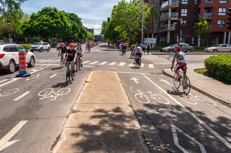
The product also chimes with the current trend for giving more space over to non-car traffic.
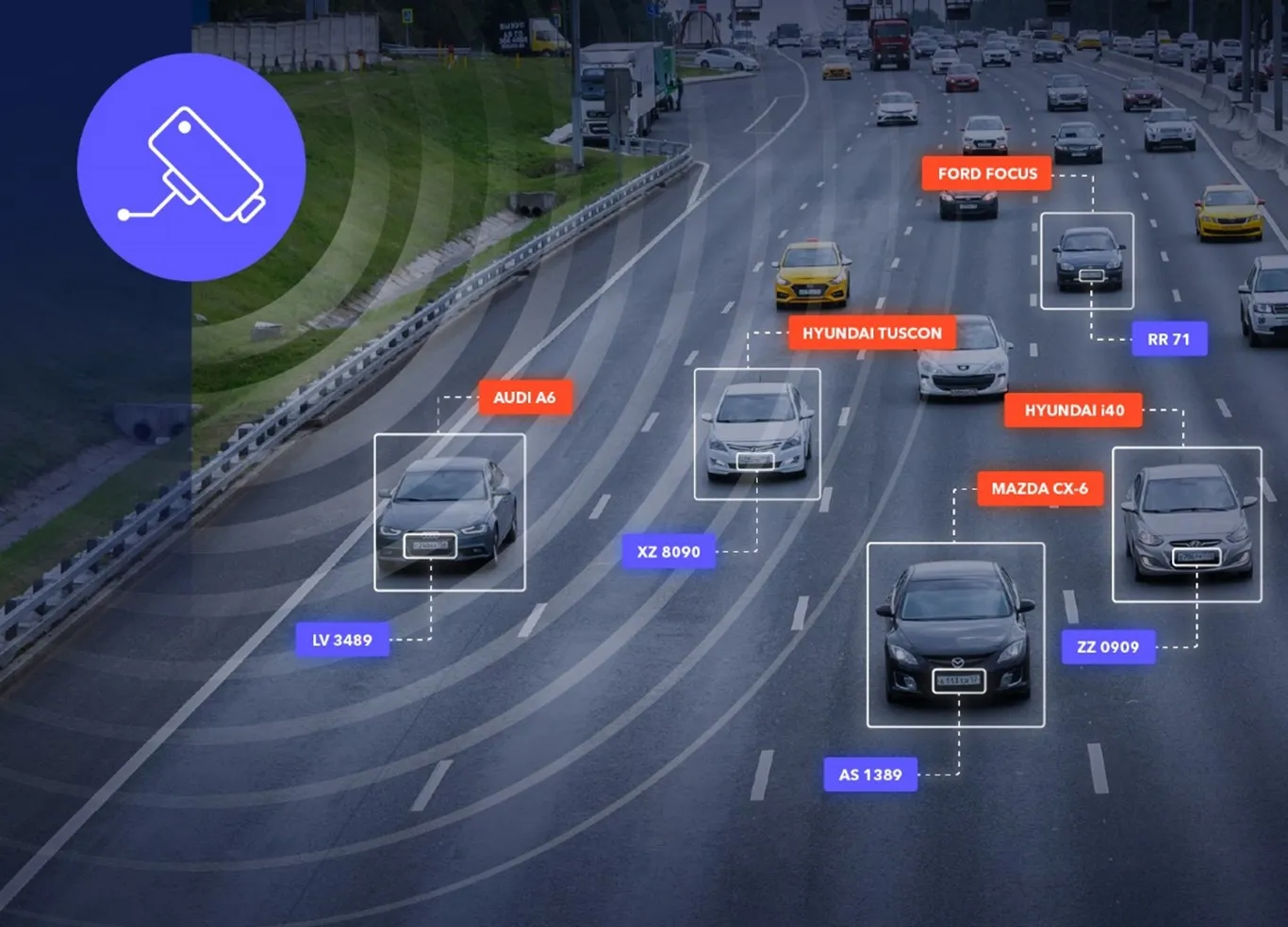
Remix says it enables cities to identify "potential candidates for car-free treatment by analysing the existing bike network, essential businesses, census demographics, movement counts, traffic speeds, and more".
The City of Seattle's Department of Transportation recently used Explore to assess the community impact of an extended cycle network.
“Developing safe, equitable, and sustainable transportation options to keep society moving has never been more important,” concludes Wright.