
Mauritius sets out to modernise public transport 

The National Land Transport Authority (NLTA) in Mauritius is using LIT Transit's mobility platform to provide integrated mobility management and passenger information capabilities on public transport. 
By Ben Spencer March 19, 2020 Read time: 2 mins
Mauritius is to upgrade buses with technology from LIT Transit (© Phuongphoto | Dreamstime.com)

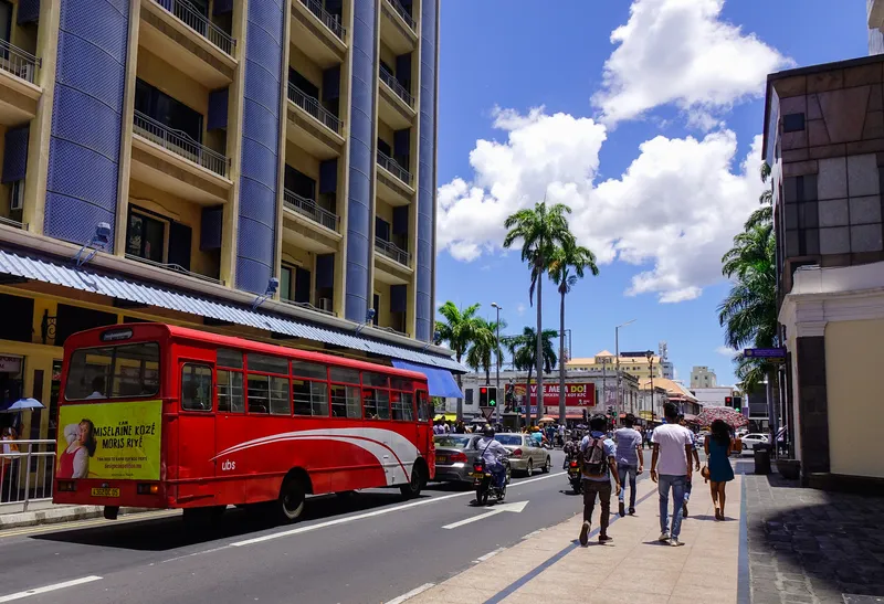
Mauritius is an island nation located around 2,000 km off the south-east coast of the African continent. 

LIT is delivering the technology as part of a passenger information service launched by the minister of land transport and light rail Alan Ganoo to modernise transport systems across Mauritius. 

Ganoo says: “The passenger information system project responds to the demands of modern life. People want control over their journey, with quick links to public transport transfers. They need to know when and where their transport will arrive, and our bus system needs to adapt to this need.”

The technology provider says its solution integrates its LIT Operate transit management system and LIT Inform passenger information system with e-paper bus stop displays supplied by Papercast. This first phase of the project incorporates 365 buses along routes servicing 34 bus stops.

According to LIT, Operate will also give NTLA real-time visibility of activities across the network, with live performance statistics. Access to operational insights enables NTLA to adapt services and respond to demand to improve its services, the company adds.

“Our goal is to offer quick and direct links to transport hubs, with smooth transfers.” Ganoo continues. “We want to ease commuter frustration with long trips on congested roads.”

The platform captures and processes fleet data using LIT's Internet of Things tracking technology.

The company's advanced arrival prediction engine is expected to make instant adjustments to improve accuracy and generates expected time of arrival data which is compliant with global open data standards.

This travel information is then made available to commuters in real-time via the e-paper displays installed at the bus stops and the Maubis travel app developed by an unnamed third-party. 


For more information on companies in this article

Related Content

  • Better liveability through more micromobility
    November 1, 2022
    Shared and micromobility offer new options, weaning urbanites off their cars, stitching existing mass transit combinations together. Andrew Stone looks at a report on transforming our cities
  • Vix offers real time information via Google maps
    September 25, 2014
    Vix Technology’s updates to its BusNet solution gives public transport providers the option to supply real-time information to Google Maps using the Google Transit interface. This opens up the information to a huge potential passenger audience without the need for a specialist app or website.The real-time information includes vehicle position and trip updates (predicted arrival or departure for stops along the route) and are provided. Trip updates can also accommodate added, cancelled or rerouted services.
  • Masabi ticketing extends to Osaka Monorail
    November 25, 2021
    Jorudan has integrated Justride into its MaaS apps for riders in Japan's third-largest city
  • Transport for London launches competition to create accessibility apps
    March 14, 2013
    Transport for London (TfL) is launching a competition to create new 'Accessibility Apps', marking the first of a series of initiatives to improve the variety of accessibility apps on offer. As part of the competition developers are being invited to apply with ideas for a new travel app which will make Transport for London (TfL) real time data more accessible to a far wider audience than mainstream Apple/Android apps. The winning entries will receive development support from TfL. Making the transport network