Mauritius sets out to modernise public transport 

The National Land Transport Authority (NLTA) in Mauritius is using LIT Transit's mobility platform to provide integrated mobility management and passenger information capabilities on public transport. 
By Ben Spencer March 19, 2020 Read time: 2 mins
Mauritius is to upgrade buses with technology from LIT Transit (© Phuongphoto | Dreamstime.com)

Mauritius is an island nation located around 2,000 km off the south-east coast of the African continent. 

LIT is delivering the technology as part of a passenger information service launched by the minister of land transport and light rail Alan Ganoo to modernise transport systems across Mauritius. 

Ganoo says: “The passenger information system project responds to the demands of modern life. People want control over their journey, with quick links to public transport transfers. They need to know when and where their transport will arrive, and our bus system needs to adapt to this need.”

The technology provider says its solution integrates its LIT Operate transit management system and LIT Inform passenger information system with e-paper bus stop displays supplied by Papercast. This first phase of the project incorporates 365 buses along routes servicing 34 bus stops.

According to LIT, Operate will also give NTLA real-time visibility of activities across the network, with live performance statistics. Access to operational insights enables NTLA to adapt services and respond to demand to improve its services, the company adds.

“Our goal is to offer quick and direct links to transport hubs, with smooth transfers.” Ganoo continues. “We want to ease commuter frustration with long trips on congested roads.”

The platform captures and processes fleet data using LIT's Internet of Things tracking technology.

The company's advanced arrival prediction engine is expected to make instant adjustments to improve accuracy and generates expected time of arrival data which is compliant with global open data standards.

This travel information is then made available to commuters in real-time via the e-paper displays installed at the bus stops and the Maubis travel app developed by an unnamed third-party. 


For more information on companies in this article

Related Content

  • Grab and NUS set up AI lab in Singapore to make cities smarter
    July 20, 2018
    Technology company Grab and the National University of Singapore (NUS) has set up an artificial intelligence (AI) lab to help develop smarter cities in South-east Asia. The partnership intends to solve challenges such as congestion and the liveability of cities in the region. The Grab-NUS AI Lab, part of an initial joint investment of S$6m (£3.3m), will utilise data from the Grab platform to provide insights into how citizens move across cities. It will also be used to map out traffic patterns and ident
  • FTA pledges $14m for US transit projects
    September 9, 2020
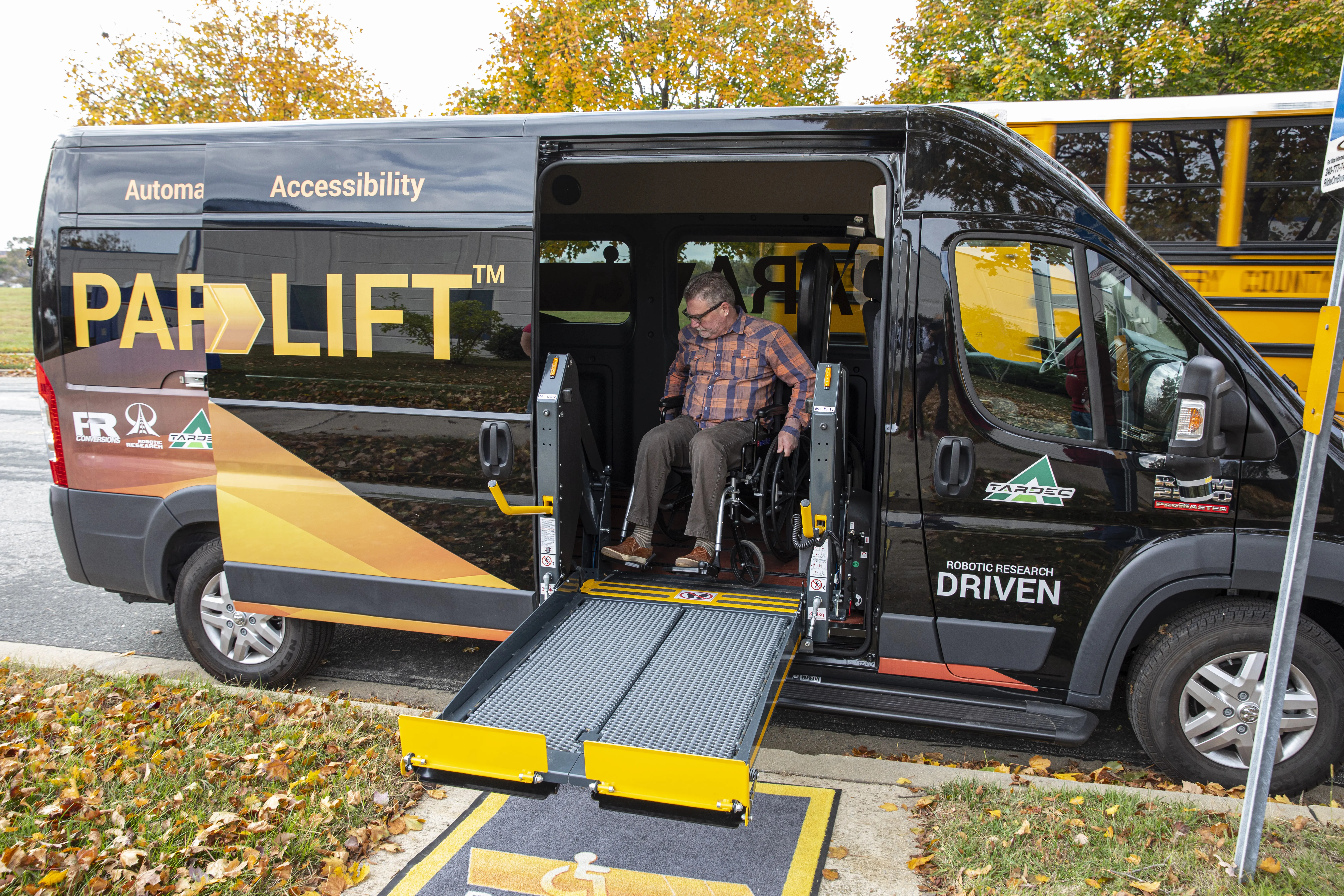
    Robotic Research to equip docking solution for disabled people on Kansas buses
  • Cubic’s holistic view of traffic management
    May 25, 2022
    How can cities and transit agencies ease congested roadways? Andy Taylor of Cubic Transportation Systems suggests it would help to take a more holistic view of the problem
  • Edinburgh launches live transport updates in Google Maps
    January 11, 2016
    Passengers of Lothian Buses and Edinburgh Trams will be the first in Scotland to access real-time service information on Google Maps thanks to a partnership between Transport for Edinburgh and Google. Google Maps on desktop and mobile now uses real-time predictions to deliver more accurate directions between any two places in Edinburgh, taking into account delays and diversions, with live updates from every bus and tram in the fleet. Google Maps has an overview of where all buses and trams are on the