Mauritius sets out to modernise public transport 

The National Land Transport Authority (NLTA) in Mauritius is using LIT Transit's mobility platform to provide integrated mobility management and passenger information capabilities on public transport. 
By Ben Spencer March 19, 2020 Read time: 2 mins
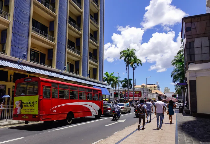
Mauritius is to upgrade buses with technology from LIT Transit (© Phuongphoto | Dreamstime.com)

Mauritius is an island nation located around 2,000 km off the south-east coast of the African continent. 

LIT is delivering the technology as part of a passenger information service launched by the minister of land transport and light rail Alan Ganoo to modernise transport systems across Mauritius. 

Ganoo says: “The passenger information system project responds to the demands of modern life. People want control over their journey, with quick links to public transport transfers. They need to know when and where their transport will arrive, and our bus system needs to adapt to this need.”

The technology provider says its solution integrates its LIT Operate transit management system and LIT Inform passenger information system with e-paper bus stop displays supplied by Papercast. This first phase of the project incorporates 365 buses along routes servicing 34 bus stops.

According to LIT, Operate will also give NTLA real-time visibility of activities across the network, with live performance statistics. Access to operational insights enables NTLA to adapt services and respond to demand to improve its services, the company adds.

“Our goal is to offer quick and direct links to transport hubs, with smooth transfers.” Ganoo continues. “We want to ease commuter frustration with long trips on congested roads.”

The platform captures and processes fleet data using LIT's Internet of Things tracking technology.

The company's advanced arrival prediction engine is expected to make instant adjustments to improve accuracy and generates expected time of arrival data which is compliant with global open data standards.

This travel information is then made available to commuters in real-time via the e-paper displays installed at the bus stops and the Maubis travel app developed by an unnamed third-party. 


For more information on companies in this article

Related Content

  • Queensland gets the message with ST Engineering
    August 29, 2024
    Train traveller information and passenger announcements enabled via Agil system
  • Real time passenger information now available
    December 1, 2014
    New York State’s Capital District Transportation Authority (CDTA) Board of Directors is to roll out a real time passenger information (RTPI) pilot program for its fleet of fixed route buses, using automatic vehicle location (AVL) software to determine bus location and speed. Customers will be able to access real time transit information for CDTA fixed route services through the free CDTA iride mobile application for Apple and Android devices, through Google Maps’ mobile apps and maps.google.com, through
  • Opinion: MaaSive fail
    January 29, 2021
    Are we in danger of losing our way on Mobility as a Service? Johan Herrlin of Ito World wonders if there is too much focus on the system and not enough on problem-solving...
  • Smoothing out city freight movements
    May 28, 2014
    David Crawford welcomes a national first. Urban freight movements, while commercially and socially vital, are a growing logistical headache for planners and people alike. Figures from France’s Lyon Laboratory of Transport Economics indicate that goods transport in major urban areas accounts for: 20% of traffic; 35% of CO2 emissions made by all urban trips; and 50% of the diesel used; while final km delivery runs account for 20% of the total cost of the transport chain.