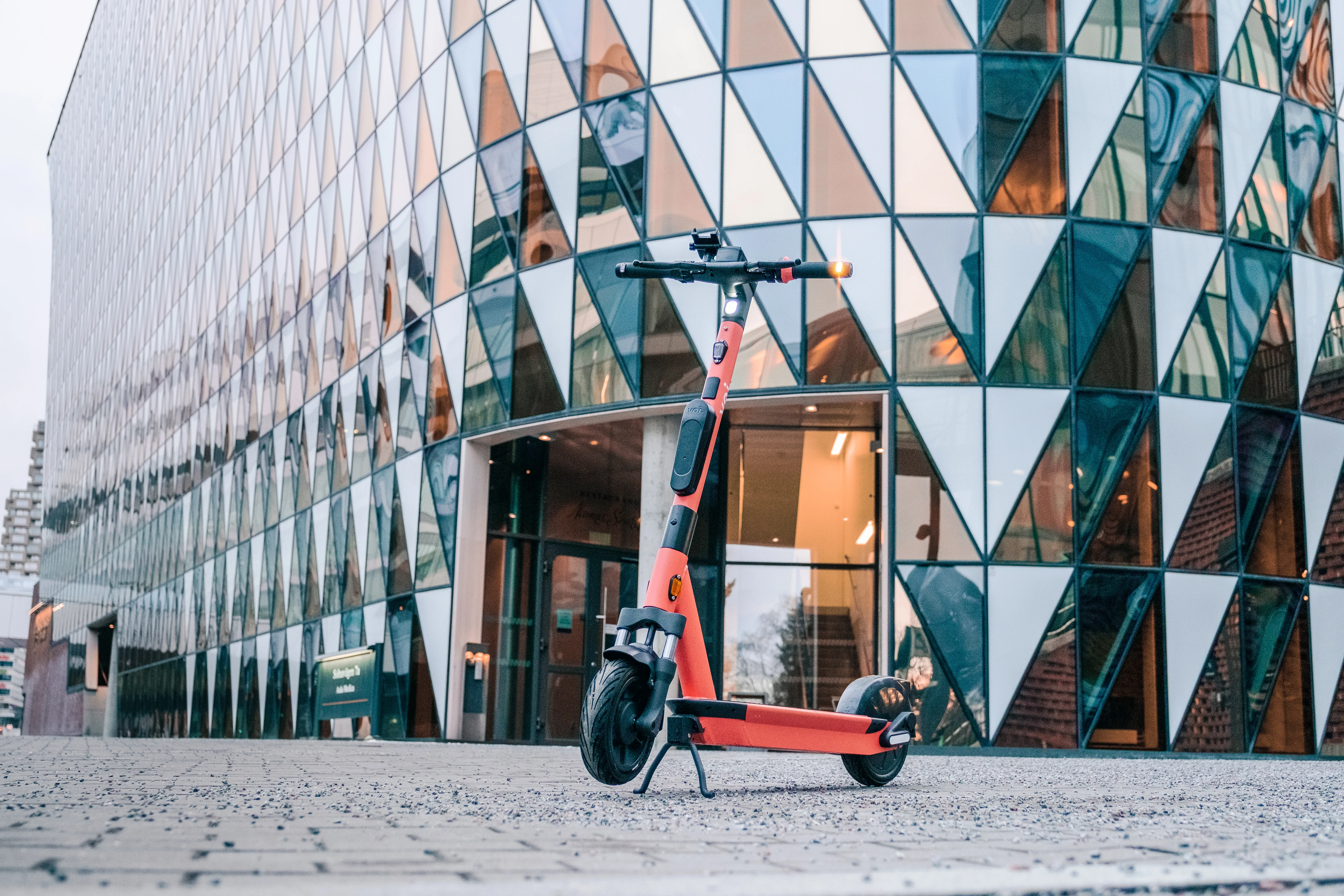
Voi has launched Voiager 4 (V4), an electric scooter equipped with smart sensors that measure noise and air quality as it travels along streets.
The air quality sensor will measure different particles of various sizes in the air, including organic compounds or even humidity levels.
The noise sensor measures the level of sound around the scooters in decibels.
The data collected by the sensors will be processed through Voi's Internet of Things (IoT) hardware.
In a blog post, Voi says it will be able to see the location of the scooter, whether it has been travelling or static and provide information on air particle levels to sub-metre accuracy.
Over time, Voi will have data from all over an operational area, allowing it to pinpoint areas with high and low noise and air quality.
The company can then share this data with its partner cities and researchers who want to use it for projects or strategies that build healthier cities.
Additionally, the scooter’s safety features include audible alarms and indicators to help increase its visibility to vehicles and pedestrians, including vulnerable road users.
According to Voi, turn indicators offer 360 degree visibility and allow riders to communicate their intended manoeuvres safely.
V4 has a set of indicators on the handlebars and a second set at the bottom rear of the scooter. Users can turn on the indicators using a button located to the right side of the bell while maintaining a grip on the handlebars. There are also two flashing indicators on the display area showing the user that they have the indicators turned on.
The connected control hub of the scooter is expected to provide pinpoint positioning.
To improve location accuracy, the IoT compensates for lost or degraded GNSS (global navigation satellite system) satellite signals.
According to Voi, the IoT uses dual-band GNSS (L1 and L5 bands); comparing and averaging the two signals minimises positioning errors, since each signal can be affected differently by urban features such as tall buildings or trees or by atmospheric disruptions.
It also accesses corrections from Egnos (European geostationary navigation overlay service), provided by the European space agency.
When GNSS-only positioning is difficult or impossible, the IoT combines information from various sensors to calculate the scooter’s current position.
Riders can unlock the scooter using a smartphone, smartwatch or transport card via contactless NFC (near field communication) technology.