National Cycle Network plan for freewheeling Ireland

Routes will link to transport hubs to ensure more comprehensive mobility for people
By David Arminas January 18, 2024 Read time: 2 mins
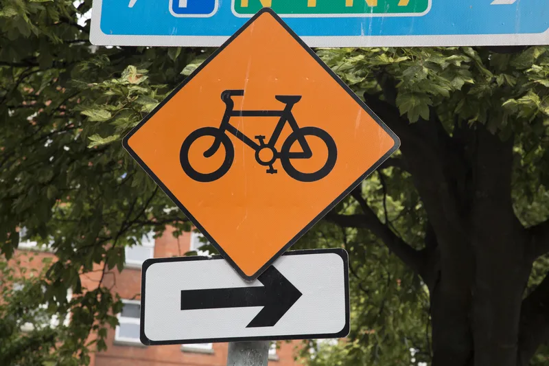
Irish government hopes cycling network will help achieve its target of reducing transport emissions by 51% by 2030 (© Kevin George | Dreamstime.com)

The Irish government has released its National Cycle Network plan outlining how 3,500km of cycle routes will criss-cross the country, serving around 2.8 million people.

Almost 90% of jobs and 80% of households in more than 200 villages, towns and cities as far north as Buncrana in County Donegal and as far south as Kinsale in County Cork are expected to be located within 5km of the network. There are 85 corridors of routes designed to integrate future and existing greenways and other cycling infrastructure, such as the Eurovelo routes.

According to the plan, released by Eamon Ryan, Ireland's minister of transport, the routes will also link to other transport hubs to ensure more comprehensive mobility for as many people as possible. The network will act as a "core spine" for Ireland’s towns and cities. Eamon also said that cycling infrastructure will be separate from motor traffic wherever possible.

The basic plan designates the urban network’s destinations as either primary, secondary or 'other' nodes.

Primary nodes are cities and large towns with populations of more than 20,000. These include Cork, Galway, Limerick, Bray, Portlaoise, Wicklow, Wexford, Letterkenny and Tralee.

Secondary nodes are towns with populations of 10,000 to 20,000, as well as major tourist attractions outside urban areas.

The ‘other’ nodes include small towns and settlements of fewer than 5,000 people, as well as educational and employment centres and transport hubs.

Around 400km of the network’s 3,500km are already in use while 900km of it are part of planned regional and national greenway programmes.
The remaining 2,200km will be new routes.

Delivery of the plan will be in three phases; the first is already under way. The second phase consisting of around 660km will be rolled out between 2026 and 2030, while the final 2,510km should be open between 2031 and 2040.

The government is hoping the cycling network will help it achieve its target of reducing transport emissions by 51% by 2030.

Ireland is already home to part of a Eurovelo route, the 11,000km EV1. It route runs from North Cape in northern Norway and hugs the North Sea and Atlantic Ocean coastlines of western Europe going as far south as Spain and Portugal.

Related Content

  • The Asia-Pacific poses a multitude of ITS challenges
    May 30, 2014
    The Asia-Pacific ITS Forum and Exhibition in Auckland, New Zealand, provided a focus for the region’s ITS Associations. Mary Bell reports. In late April, ITS New Zealand hosted the 13th Asia-Pacific ITS Forum and Exhibition in Auckland. Around 350 delegates from 24 nations gathered to share and advance ITS applications on both strategic and technical levels and to discuss the differing and various challenges faced in the region.
  • Cubic completes Sydney Opal Card rollout early
    December 12, 2014
    Cubic Transportation Systems has completed the roll out of Sydney’s Opal contactless smartcard ticketing system across all transport modes and connecting multiple operators and commenced operation and maintenance of the Opal system under the ten-year services agreement that is part of the original contract. The contract to build the new electronic ticketing system (ETS) – later branded as the Opal Card – was awarded to the Cubic-led Pearl consortium in 2010.
  • GPS technology improves safety for emergency response teams
    May 16, 2014
    Emergency response teams in the densely populated town of Brookhaven, New York, respond to more than 5,000 emergency calls every month. To enable fire-fighters and emergency services to meet the demand, town officials made the decision to upgrade to Opticom GPS priority control technology on more 500 fire trucks and at almost as many intersections. Opticom GPS uses a global network of GPS satellites to calculate vehicle speed, direction and precise location to pre-empt signals even around corners or obs
  • ETSC says road safety is ‘vicious circle’
    June 12, 2019
    Urban road safety is a key problem in Europe, an issue that needs to be addressed as a priority. That is the finding of a new report by the European Transport Safety Council (ETSC). The ETSC’s report reveals that road deaths on urban roads decreased at around half the rate of those on rural roads over the period 2010-2017. The report also shows that vulnerable road users such as pedestrians, cyclists and motorcyclists, account for 70% of those killed and seriously injured on urban roads. Dovilė Adminait