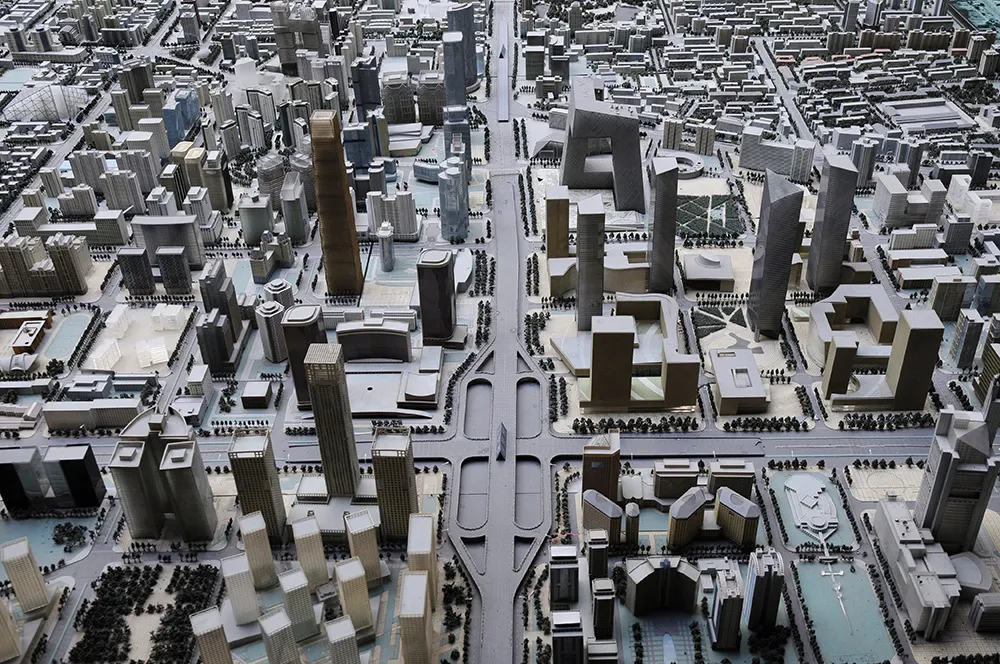
SimActive’s latest software processes data from satellite, UAV images

Canadian developer of photogrammetry software, SimActive, has released the latest version of its Correlator3D patented end-to-end photogrammetry solution for the generation of high-quality geospatial data from satellite and aerial imagery, including unmanned aerial vehicles more commonly known as drones.
July 7, 2016 Read time: 1 min

Canadian developer of photogrammetry software, 8453 SimActive, has released the latest version of its Correlator3D patented end-to-end photogrammetry solution for the generation of high-quality geospatial data from satellite and aerial imagery, including unmanned aerial vehicles more commonly known as drones.

Correlator3D performs aerial triangulation and produces dense digital surface models, digital terrain models, point clouds, orthomosaics and vectorised 3D features. Powered by graphics processing technology and multi-core processing units, Correlator3D is said to have the processing power to support rapid production of large datasets.

The new release includes a redesigned aerial triangulation module while tie point extraction and bundle algorithms have been further enhanced, along with the added capability to address problematic input data such as low overlap projects.

The release features an alignment tool which automatically registers new projects to older mosaics and DEMs.  It removes the need for recollecting ground control points and, in addition, a new semi-automatic workflow has been developed for ground control point tagging.

For more information on companies in this article

Related Content

  • Next-gen sensor needs for safer, smarter cities
    July 1, 2021
    Next-generation radar sensor solutions will help smart cities deliver on the promise of optimising infrastructure, mobility, sustainability and safety, says Econolite CTO Eric Raamot
  • Airborne traffic monitoring - the future?
    March 1, 2013
    A new frontier in the quest to monitor road traffic is opening up… but using airborne drones to reduce the jams comes with some thorny issues. Chris Tindall reports. Imagine if you could rely on a system that provided all the data you needed to regulate traffic flow, route vehicles and respond swiftly to emergencies for a fraction of the cost of piloting a helicopter. That system exists, but as engineers and traffic managers start to explore the potential of unmanned aerial vehicles (UAVs) – more commonly k
  • Synthetic data v the real thing
    January 9, 2023
    ITS and smart cities thrive on data: but does all the data need to be real? Steve Harris of Mindtech explains why the answer could lie in combining elements of the real world with the synthetic
  • Electronic toll collection: Change is in the air
    November 7, 2024
    Trends in technology plus users’ comfort in adopting new advances indicate that the environment for a new electronic toll collection architecture is evolving. Hal Worrall considers what this might look like