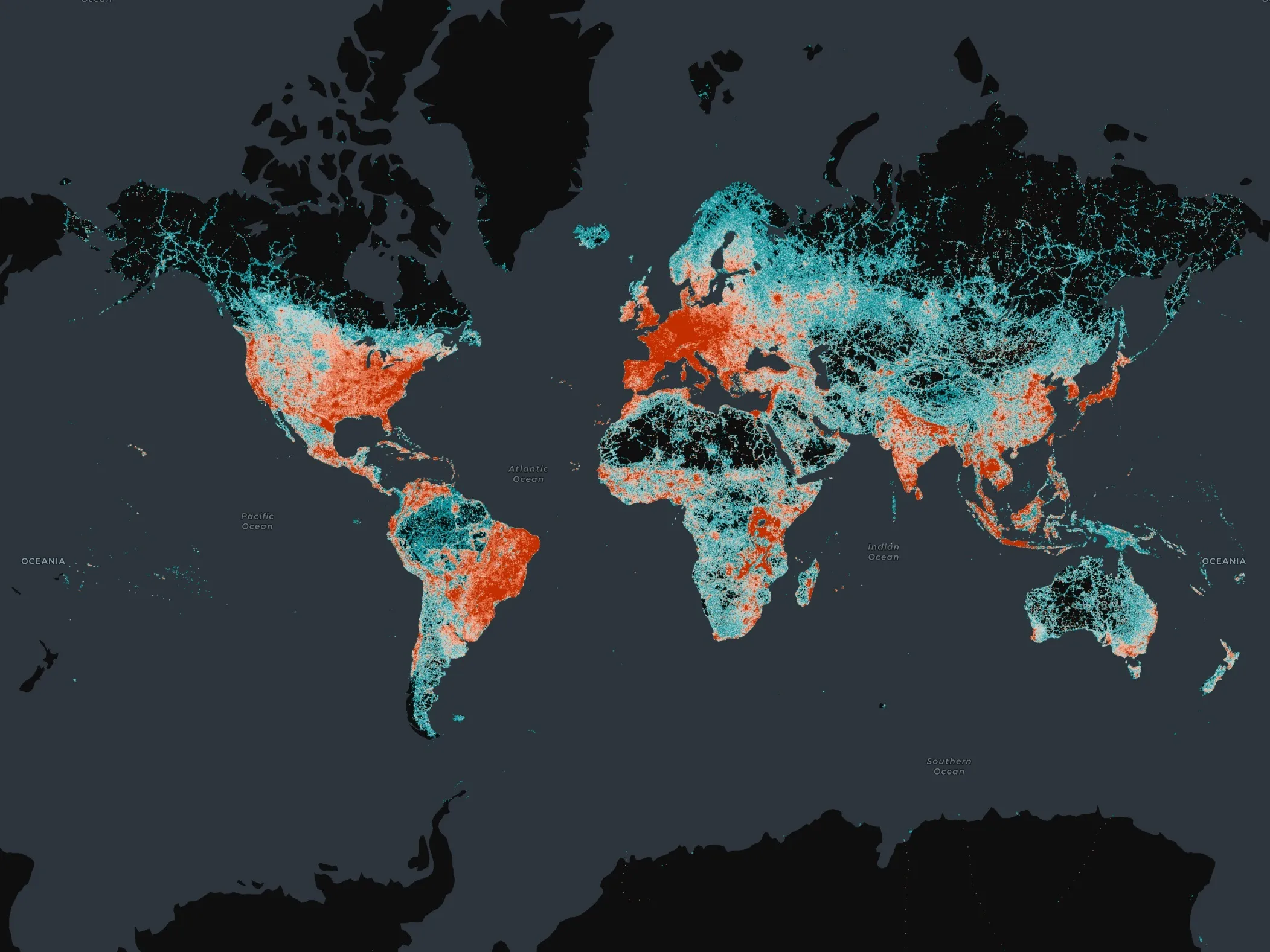
New world basemap from Esri

In cooperation with National Geographic, Esri has released the National Geographic world basemap that combines a century-old cartographic tradition with the power of GIS technology to produce a distinctive internet-based map service for GIS, consumer, education, and mobile users. Designed to be aesthetically pleasing, the National Geographic World Map is for users who want to display minimal data on a vibrant, highly detailed background. The map is currently available at ArcGIS Online in the basemap gallery
March 19, 2012 Read time: 1 min
In cooperation with National Geographic, 50 ESRI has released the National Geographic world basemap that combines a century-old cartographic tradition with the power of GIS technology to produce a distinctive internet-based map service for GIS, consumer, education, and mobile users. Designed to be aesthetically pleasing, the National Geographic World Map is for users who want to display minimal data on a vibrant, highly detailed background. The map is currently available at ArcGIS Online in the basemap gallery.

Related Content

  • A carbon free and accident free Europe by 2015?
    February 2, 2012
    By 2050, the Europe Commission aims to make transport in Europe carbon- and accident-free. Between now and then, however, a significant technological development and deployment effort is needed. Here, Neelie Kroes, European Commission Vice-President for the Digital Agenda, talks about what's being done. In many respects, COOPERS, CVIS and SAFESPOT, set up by the European Commission (EC) to explore the potential of cooperative infrastructure systems, are already legacy projects. Between them, the three devel
  • Essex Highways improves street lighting
    February 22, 2013
    Internet hosted street lighting software from Mayrise Systems is helping Essex Highways, a strategic partnership between the UK's Essex County Council and Ringway Jacobs, to ensure street lights are working, in order to maintain a safe environment for both road users and pedestrians. Mayrise for Street Lighting Online is core to all the activities carried out by the Essex highways street lighting team; it allows for the accurate capture of technical data in the field and delivers this information in an easy
  • Overture Maps releases its transportation dataset
    December 20, 2024
    Open-map dataset includes 86 million kilometres of roads worldwide
  • Co-operative infrastructure reduces congestion, increases safety
    January 30, 2012
    ITS Japan's Chairman Hiroyuki Watanabe talks to ITS International about his country's progress with cooperative infrastructures and how the experience gained to date can benefit similar initiatives elsewhere. Japan gave the rest of the world a taste of the cooperative infrastructure future when, in 1996, it went live with the Vehicle Information and Communication System (VICS). Designed to provide real-time traffic information and alerts to in-vehicle navigation systems with the dual aims of increasing safe