New world basemap from Esri

In cooperation with National Geographic, Esri has released the National Geographic world basemap that combines a century-old cartographic tradition with the power of GIS technology to produce a distinctive internet-based map service for GIS, consumer, education, and mobile users. Designed to be aesthetically pleasing, the National Geographic World Map is for users who want to display minimal data on a vibrant, highly detailed background. The map is currently available at ArcGIS Online in the basemap gallery
March 19, 2012 Read time: 1 min
In cooperation with National Geographic, 50 ESRI has released the National Geographic world basemap that combines a century-old cartographic tradition with the power of GIS technology to produce a distinctive internet-based map service for GIS, consumer, education, and mobile users. Designed to be aesthetically pleasing, the National Geographic World Map is for users who want to display minimal data on a vibrant, highly detailed background. The map is currently available at ArcGIS Online in the basemap gallery.

Related Content

  • Debating contactless toll charging by smartphone
    April 25, 2012
    Developments in the mass transit sector could provide indicators of potential for greater use of mobile consumer electronic devices for charging and tolling, according to Consult Hyperion’s Mike Burden. However, opinion among toll system suppliers is divided. Jason Barnes reports The combination of mass-market devices and their protocols, typified by smartphones featuring near field communication (NFC), points to some exciting cross-fertilisation possibilities in the charging and tolling sector, says Consul
  • All around the world: #ITSDubai2024
    September 5, 2024
    The bosses of the three major international ITS organisations – ITS America, Ertico and ITS Asia-Pacific – have put their heads together on a podcast. Beate Kubitz listens in…
  • Optibus gets its message across
    October 25, 2024
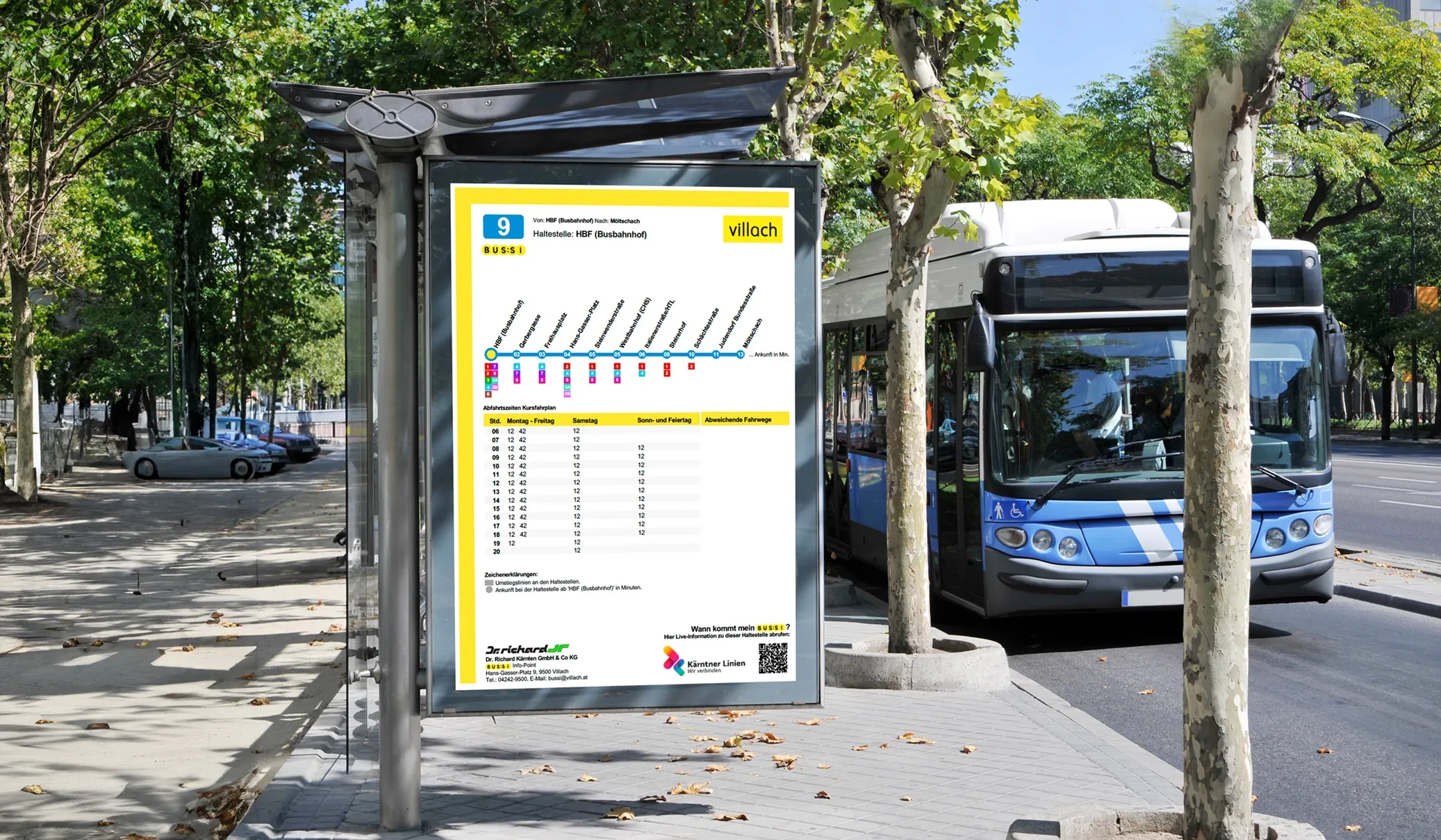
    Passenger Billboards convert complex service data into information displays
  • PennDOT honoured for modernised data collection
    July 17, 2013
    PennDOT's modernised field data collection process recently received an international achievement award for its innovative use of geographic information system technology. The Special Achievement in GIS (SAG) Award recognises vision, leadership, hard work and innovative use of technology and was presented at the Esri International User Conference in San Diego. PennDOT received the award for its use of technology to collect information on local roads and bridges such as location, condition and structure type