New world basemap from Esri

In cooperation with National Geographic, Esri has released the National Geographic world basemap that combines a century-old cartographic tradition with the power of GIS technology to produce a distinctive internet-based map service for GIS, consumer, education, and mobile users. Designed to be aesthetically pleasing, the National Geographic World Map is for users who want to display minimal data on a vibrant, highly detailed background. The map is currently available at ArcGIS Online in the basemap gallery
March 19, 2012 Read time: 1 min
In cooperation with National Geographic, 50 ESRI has released the National Geographic world basemap that combines a century-old cartographic tradition with the power of GIS technology to produce a distinctive internet-based map service for GIS, consumer, education, and mobile users. Designed to be aesthetically pleasing, the National Geographic World Map is for users who want to display minimal data on a vibrant, highly detailed background. The map is currently available at ArcGIS Online in the basemap gallery.

Related Content

  • June 3, 2015
    Esri simplifies location based information
    Every piece of transportation technology and data has some sort of location associated with it, according to Keith King from Esri, a leading Geographic Information System (GIS) solution provider, and transportation organizations need to be able to effectively visualize, analyze, integrate and interpret that location-based information. Esri ArcGIS brings together maps, apps, data and people to make smarter decisions while empowering everyone from line-of-business managers to executives with timely, accura
  • April 4, 2016
    Collaboration to deliver asset management for transportation agencies
    GIS software specialist Esri and infrastructure asset management software provider AgileAssets have announced a new strategic collaboration on technology development and implementation services, which will provide clients with the combined power of AgileAssets’ transportation asset management solutions and the Esri ArcGIS platform. The collaboration results in AgileAssets’ further integration of Esri technologies into the AgileAssets platform, – including Esri ArcGIS Server, Esri Roads & Highways, Collec
  • October 6, 2020
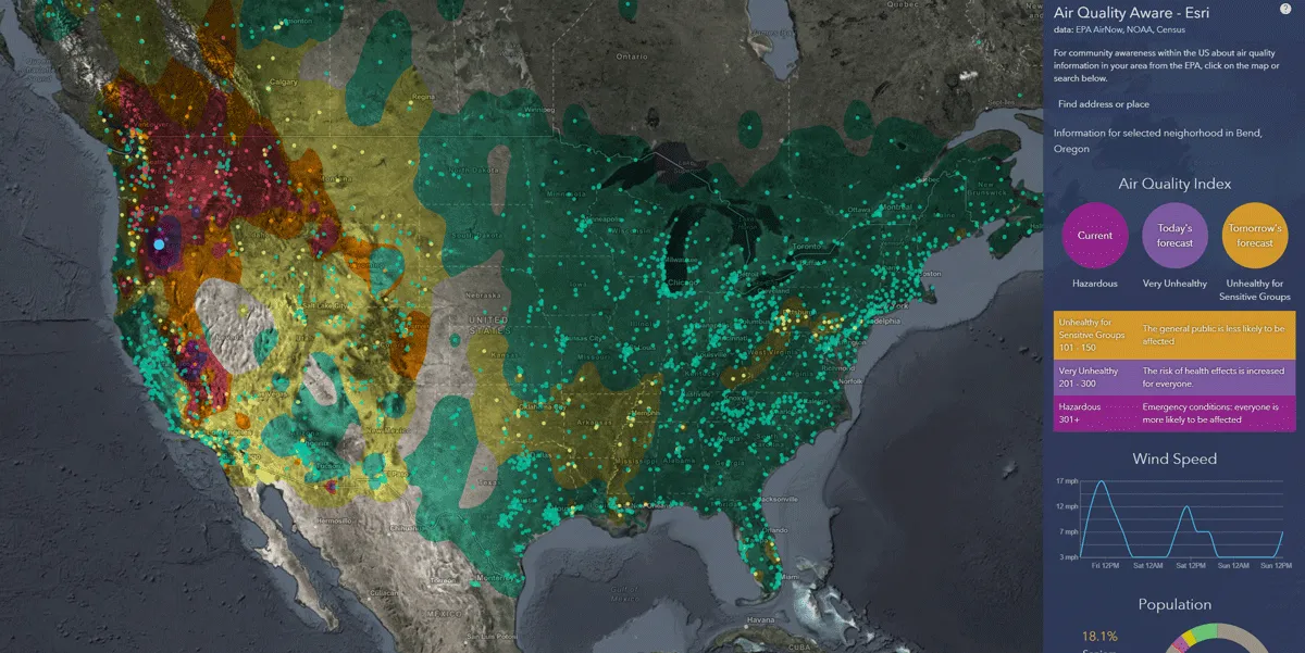
    Esri exposes US air pollution impact
    App uses data from AirNow programme, American Community Survey and NOAA wind forecast 
  • March 13, 2012
    New version of free GIS portal toolkit
    To further improve Geographic Information System (GIS) data access over the Web, ESRI has updated its GIS Portal Toolkit for ArcGIS. The toolkit is a free technology and services solution for implementing local, regional, national and global Spatial Data Infrastructure (SDI) portals. The toolkit gives users a website starter and all the functional capabilities needed to deploy a GIS portal for an organisation's SDI.