New world basemap from Esri

In cooperation with National Geographic, Esri has released the National Geographic world basemap that combines a century-old cartographic tradition with the power of GIS technology to produce a distinctive internet-based map service for GIS, consumer, education, and mobile users. Designed to be aesthetically pleasing, the National Geographic World Map is for users who want to display minimal data on a vibrant, highly detailed background. The map is currently available at ArcGIS Online in the basemap gallery
March 19, 2012 Read time: 1 min
In cooperation with National Geographic, 50 ESRI has released the National Geographic world basemap that combines a century-old cartographic tradition with the power of GIS technology to produce a distinctive internet-based map service for GIS, consumer, education, and mobile users. Designed to be aesthetically pleasing, the National Geographic World Map is for users who want to display minimal data on a vibrant, highly detailed background. The map is currently available at ArcGIS Online in the basemap gallery.

Related Content

  • June 1, 2016
    TomTom provides flexibility for Riyadh
    With five years of traffic disruption ahead and an inadequate traffic monitoring system, the authorities in Riyadh needed a solution – and quickly. In preparation for embarking on what is currently the world’s largest metro construction project, the Arriyadh Development Authority (ADA) in Riyadh needed to put in place measures to minimise the additional congestion and travel delays the five-year project would inevitably cause.
  • April 25, 2013
    Widest bridge in the world Port Mann open in Vancouver
    Port Mann Bridge, designed to growing regional congestion and improve the movement of people, goods and transit throughout greater Vancouver, is now open for business. The widest bridge in the world, the Port Mann Bridge located in the metro Vancouver area, in British Columbia, Canada, features an Open Road Tolling (ORT) system, also called All Electronic Tolling (AET), which will ultimately cross all 10 lanes of traffic.
  • September 7, 2020
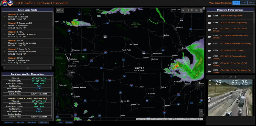
    Esri highlights benefits of a state-wide data-rich environment
    Walk into virtually any traffic operations centre and you will be confronted by people flipping between different screens and CCTV monitors, and individually viewing a large number of stand-alone applications to try to understand a comprehensive picture of their live traffic, weather, incident, and snow conditions from these disparate sources.
  • May 10, 2012
    New research identifies large truck rollover locations in the US
    The American Transportation Research Institute (ATRI) has released findings from the first phase of a three-part research effort aimed at mitigating costly large truck rollovers. ATRI has produced a database of locations with the highest frequency of large truck rollovers using over 50,000 crash records over a nine-year period. The database, which covers 31 states, provides valuable insight into the location of high frequency rollover locations to both public transportation officials and the trucking indust