New version of Esri CityEngine

Esri CityEngine 2011, the latest version of Esri's software for creating high-quality 3D content, is now available.
January 31, 2012 Read time: 1 min

50 ESRI CityEngine 2011, the latest version of Esri's software for creating high-quality 3D content, is now available. This latest release of CityEngine makes it easier to use geographic information system (GIS) data to create geographically accurate models for urban design, historical reenactment models, or realistic models of actual cities. It now includes support for georeferenced data such as Esri's File Geodatabase (GDB) and KML, while the user interface has been greatly improved for ease of use with 'drag and drop' data import features.

For more information on companies in this article

Related Content

  • Priority boosts ridership and cuts congestion
    May 4, 2016
    Transit priority is proving a win-win in Europe and Australia. David Crawford reports. Technology that integrates with the Australian-originated Sydney Coordinated Adaptive Traffic System (SCATS) is driving bus signal priority and performance analysis initiatives on both sides of the world; in its homeland, with a major deployment in 2015, and in the capital of the Republic of Ireland.
  • Abu Dhabi embraces 'diversity of choice'
    January 30, 2025
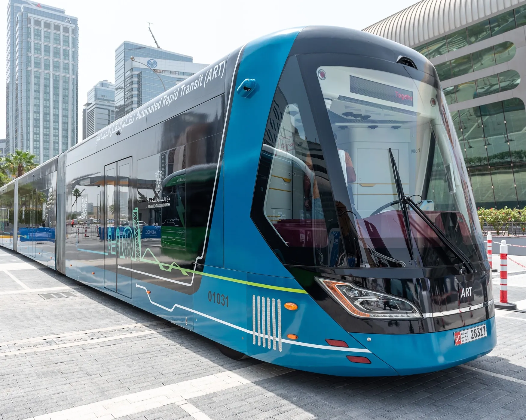
    The Integrated Transport Centre in Abu Dhabi has big plans. Adam Hill hears why choices in the Middle Eastern emirate's mobility ecosystem are crucial when it comes to economic development
  • Internet-connected cars their functionality and safety challenges
    February 27, 2013
    Internet-connected cars are poised to flood the market in the near future. Pete Goldin considers the functionality they offer, the technology they use and the challenge they represent in terms of driver safety. Many vehicles on the road today offer some sort of inter­net connectivity and experts agree that this capability will become a competi­tive differentiator in the automotive industry in the next few years. The era of the digital vehicle, it seems, has started. “We clearly see that cars in the near f
  • Overture Maps releases its transportation dataset
    December 20, 2024
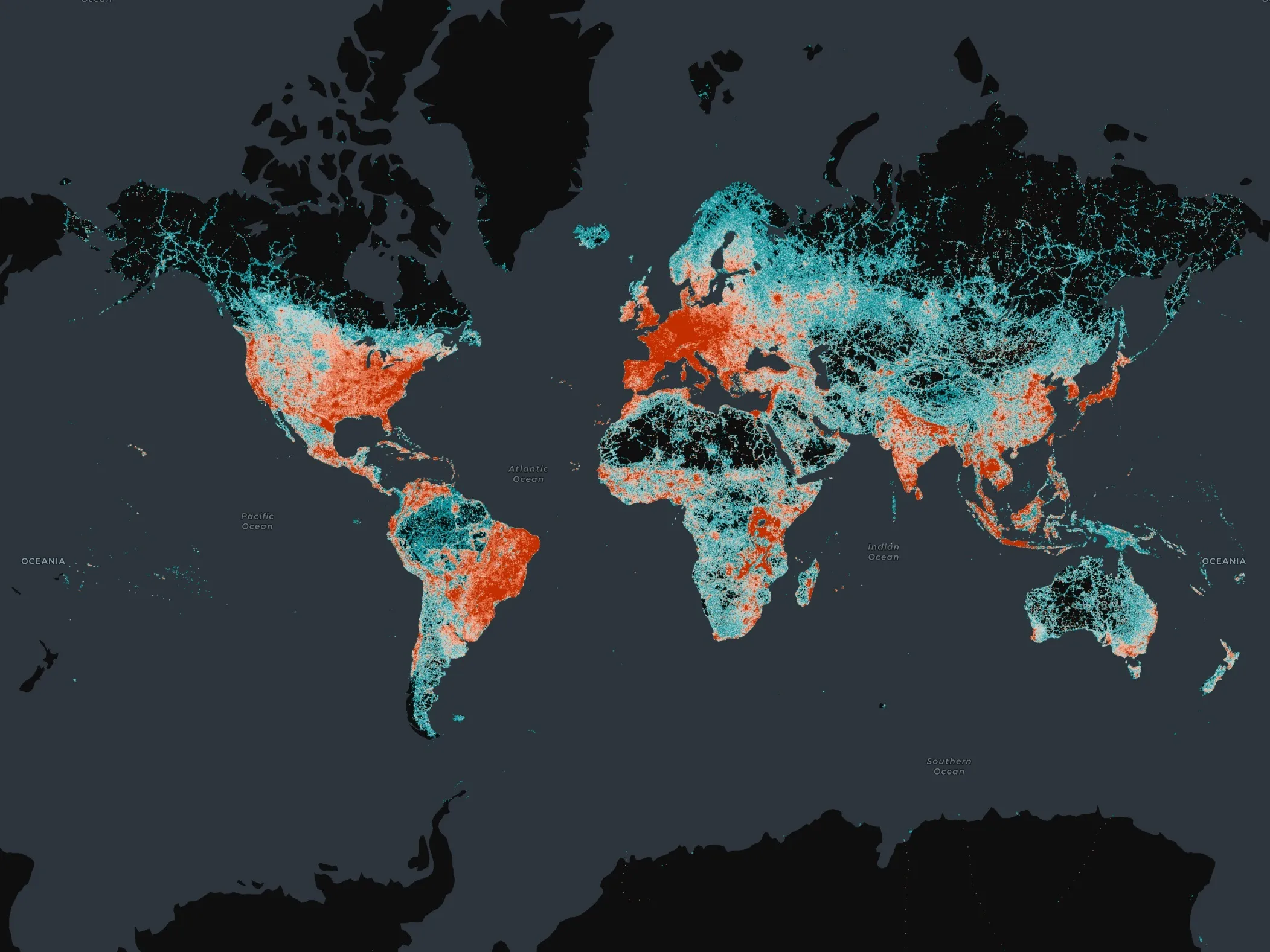
    Open-map dataset includes 86 million kilometres of roads worldwide