New version of Esri CityEngine

Esri CityEngine 2011, the latest version of Esri's software for creating high-quality 3D content, is now available.
January 31, 2012 Read time: 1 min

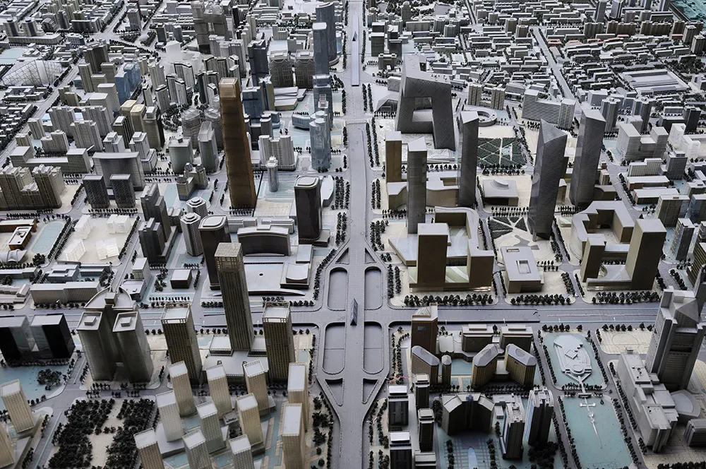
50 ESRI CityEngine 2011, the latest version of Esri's software for creating high-quality 3D content, is now available. This latest release of CityEngine makes it easier to use geographic information system (GIS) data to create geographically accurate models for urban design, historical reenactment models, or realistic models of actual cities. It now includes support for georeferenced data such as Esri's File Geodatabase (GDB) and KML, while the user interface has been greatly improved for ease of use with 'drag and drop' data import features.

For more information on companies in this article

Related Content

  • PTV Group retains TfL modelling software contract
    October 8, 2015
    PTV Group has been appointed as one of the framework contractors for three years to provide tactical and microsimulation operational modelling software to Transport for London (TfL). TfL uses PTV Visum operational software for the development of the Operational Network Evaluation (ONE) model, a tactical highway assignment model for London, said to be the largest of its type in the world. An earlier version of the ONE model, covering the central London road network, was successfully used for the operatio
  • Tatweer smart platform aims to reduce human driving error
    May 10, 2023
    System automates driving behaviour assessment to increase accuracy and cut costs
  • Synthetic data v the real thing
    January 9, 2023
    ITS and smart cities thrive on data: but does all the data need to be real? Steve Harris of Mindtech explains why the answer could lie in combining elements of the real world with the synthetic
  • Caltrans develops remote remedy for ailing VMS
    February 18, 2014
    A remote diagnostic system for variable message signs keeps Caltrans staff safer and makes them more efficient. District 12 of the California Department of Transportation (Caltrans) maintains roads in Orange County including 292 route miles of freeway lanes and 240 directional miles of full-time high occupancy vehicle or carpool lanes. All of these lanes are controlled from the district’s transportation management centre (TMC) using a network of 58 variable message signs (VMS) positioned alongside or abo