New version of Esri CityEngine

Esri CityEngine 2011, the latest version of Esri's software for creating high-quality 3D content, is now available.
January 31, 2012 Read time: 1 min

50 ESRI CityEngine 2011, the latest version of Esri's software for creating high-quality 3D content, is now available. This latest release of CityEngine makes it easier to use geographic information system (GIS) data to create geographically accurate models for urban design, historical reenactment models, or realistic models of actual cities. It now includes support for georeferenced data such as Esri's File Geodatabase (GDB) and KML, while the user interface has been greatly improved for ease of use with 'drag and drop' data import features.

For more information on companies in this article

Related Content

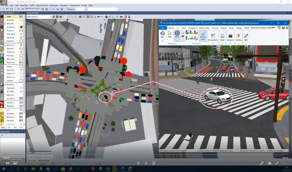
  • PTV partners with 3D VR specialist Forum8 
    June 11, 2020
    Idea is to create more realistic pictures of traffic networks for urban planning
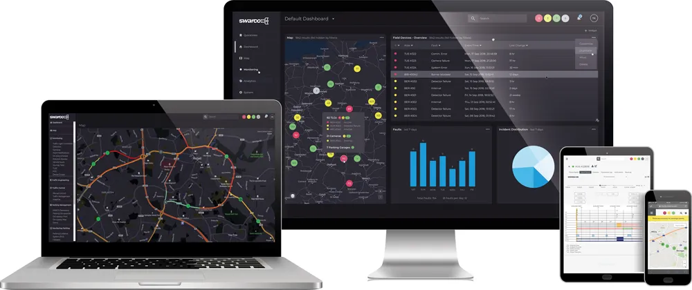
  • SWARCO launches MyCity 1.0
    April 21, 2021
    New Mobility Management Platform for smarter, greener cities  
  • LiDAR sets its sights on future problems
    February 23, 2017
    AAdvances in LiDAR are helping transport authorities improve services and identify potential problem areas, as geospatial technology expert Dr Neil Slatcher explains. The effects of climate change on the transport infrastructure have long been a cause of concern within the transportation sector - and not only on the structures themselves but also on the surrounding areas. This year, those concerns have become reality with landslides, structural collapses and surfacing issues impacting services across the wo
  • Data goldmines offer rich pickings
    May 31, 2013
    Astronomical is not too grand a term to describe the current rate of growth in transportation-related data. Massive amounts of traffic related information, such as speed, volume, incidents and weather are being generated every second by road operators and users alike. Big data’ derives its name from the sheer amount and complexity of available raw data. Its potential value is starting to emerge among the intelligent transportation systems community. A gold rush is taking place to capture this value, with da