Mobileye launches new mapping technology, integrates with GM and Volkswagen

Both General Motors and Volkswagen are to incorporate Mobileye’s new road experience management (REM) mapping technology into their vehicles. REM uses crowd-sourced real-time data for precise localisation and high-definition lane data that forms an important layer of information for autonomous driving. The software, based on that running on Mobileye's EyeQ processing platforms, extracts landmarks and roadway information at extremely low bandwidths – using approximately 10kb/km.
March 17, 2016 Read time: 1 min
Both 948 General Motors and 994 Volkswagen are to incorporate 4279 Mobileye’s new road experience management (REM) mapping technology into their vehicles.

REM uses crowd-sourced real-time data for precise localisation and high-definition lane data that forms an important layer of information for autonomous driving. The software, based on that running on Mobileye's EyeQ processing platforms, extracts landmarks and roadway information at extremely low bandwidths – using approximately 10kb/km. 

Additionally, backend cloud-based software integrates the segments of data sent by all vehicles with the on-board software into a global map.

For more information on companies in this article

Related Content

  • Pricing practise for HOT lane operation
    May 11, 2017
    Timothy Compston weighs up the critical elements that keep the wheels of dynamic pricing schemes turning in today's high-occupancy toll (HOT) lanes. In the drive towards smarter tolling it is perhaps not surprising that sophisticated pricing algorithms are being rolled out to better reflect supply and demand on the roadway. This is the case with high-occupancy toll (HOT) lanes which a growing number of DoTs are seeing as a way of smoothing the operation of their existing, and planned, freeway infrastructure
  • SwRI launches ActiveVision to help automate traffic monitoring
    June 18, 2019
    Southwest Research Institute (SwRI) has released ActiveVision, a machine vision tool that transportation agencies can use to autonomously detect and report changes in traffic conditions. Dan Rossiter, SwRI research analyst, says: "The goal is to help transportation officials enhance their ITS capabilities with advanced algorithms that autonomously scan vast amounts of visual data, extracting and reporting actionable data." SwRI says the tool’s algorithms process camera data to provide real-time informatio
  • Fast and efficient barrier-free electronic toll collection
    May 21, 2012
    Canada’s 407 tolled highway allows non-stop travel and a fast and efficient way of paying for it. Ontario’s 407 ETR highway features one of the most advanced barrier-free and all- electronic toll collection systems in the world. The company that operates the road launched the latest phase of its strategy to provide end-to-end automation in summer 2011. A self-service website is now available, allowing users to view and pay charges online using technology supplied by the international market leaders in e-bil
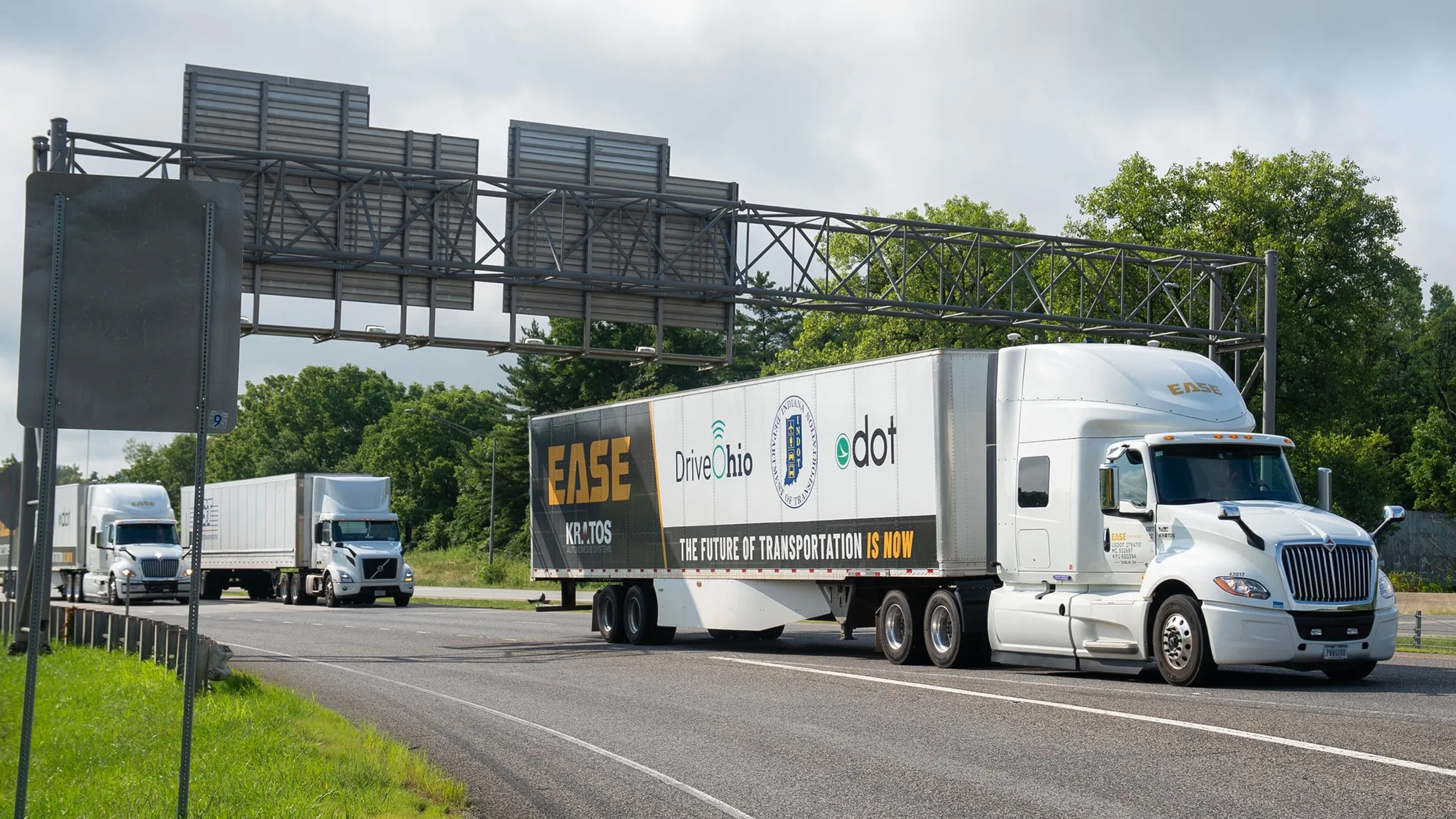
  • Platooning with Ease on the I-70
    July 15, 2025
    What would happen to truck platooning - a nascent technology - if the weather turns nasty? The I-70 Truck Automation Corridor Project in the northern US should provide some answers, reports David Arminas…