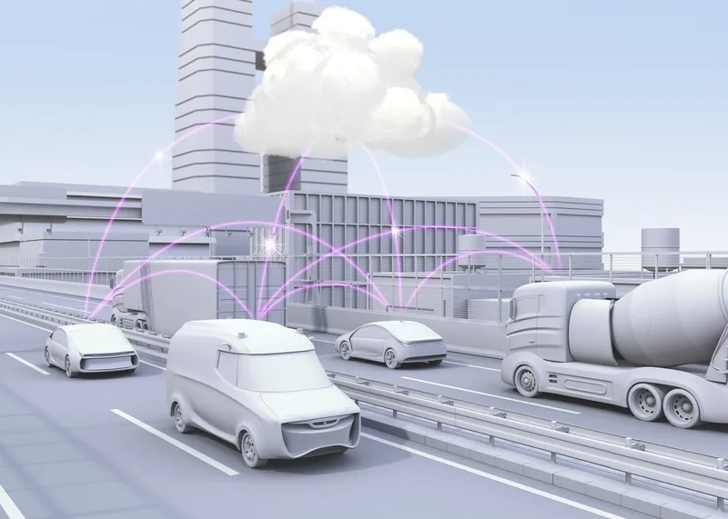
Both General Motors and Volkswagen are to incorporate Mobileye’s new road experience management (REM) mapping technology into their vehicles. REM uses crowd-sourced real-time data for precise localisation and high-definition lane data that forms an important layer of information for autonomous driving. The software, based on that running on Mobileye's EyeQ processing platforms, extracts landmarks and roadway information at extremely low bandwidths – using approximately 10kb/km.

Both 948 General Motors and 994 Volkswagen are to incorporate 4279 Mobileye’s new road experience management (REM) mapping technology into their vehicles.
REM uses crowd-sourced real-time data for precise localisation and high-definition lane data that forms an important layer of information for autonomous driving. The software, based on that running on Mobileye's EyeQ processing platforms, extracts landmarks and roadway information at extremely low bandwidths – using approximately 10kb/km.
Additionally, backend cloud-based software integrates the segments of data sent by all vehicles with the on-board software into a global map.