Mobileye launches new mapping technology, integrates with GM and Volkswagen

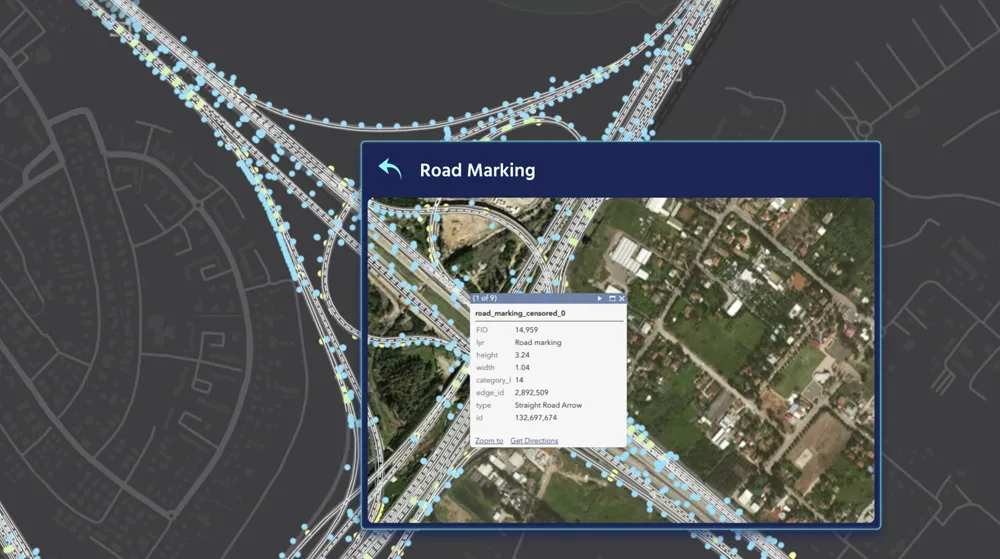
Both General Motors and Volkswagen are to incorporate Mobileye’s new road experience management (REM) mapping technology into their vehicles. REM uses crowd-sourced real-time data for precise localisation and high-definition lane data that forms an important layer of information for autonomous driving. The software, based on that running on Mobileye's EyeQ processing platforms, extracts landmarks and roadway information at extremely low bandwidths – using approximately 10kb/km.
March 17, 2016 Read time: 1 min
Both 948 General Motors and 994 Volkswagen are to incorporate 4279 Mobileye’s new road experience management (REM) mapping technology into their vehicles.

REM uses crowd-sourced real-time data for precise localisation and high-definition lane data that forms an important layer of information for autonomous driving. The software, based on that running on Mobileye's EyeQ processing platforms, extracts landmarks and roadway information at extremely low bandwidths – using approximately 10kb/km. 

Additionally, backend cloud-based software integrates the segments of data sent by all vehicles with the on-board software into a global map.

For more information on companies in this article

Related Content

  • Trends in automotive technology
    March 14, 2012
    Continental has become a leading player in vehicle technology and telematics. The firm’s executive board chairman Elmar Degenhart describes to Jason Barnes Continental’s views on the ‘megatrends’ of the automotive industry Strategic moves to diversify Continental’s business from rubber-related products began in the late 1990s with the acquisition of ITT Teves and its brake business. This brought on board know-how relating to the then new electronic stability control (ESC) systems which today form an import
  • Mobileye can provide critically important data
    September 15, 2021
    For more than 20 years Mobileye, an Intel company, has been producing camera-based advanced driver assistance systems (ADAS) that have helped protect drivers from collisions. Its technology, which works by using a camera to scan the road ahead, can be found on over 80 million vehicles and has been adopted by 27 leading vehicle manufacturers
  • Cloud computing technology benefits GIS
    July 17, 2012
    Geographic Information Systems are a relatively late adopter of cloud computing,but the benefits of host services for geospatial data and analysis are becoming clear. Jason Barnes reports Both the concept and the reality of cloud computing have been around for some time. More and more industry sectors are entrusting external service providers with the provision of their computing services via the internet. However, the Geographic Information System (GIS) industry has been slow to embrace the trend. This is
  • Here beats Google as world’s leading location platform, says Ovum
    August 23, 2018
    Here Technologies has toppled Google as the world’s leading location platform, according to a new report. The Dutch mapping company’s price plan appears more developer-friendly and competitive than the Google Maps model, says analyst Ovum. Location Platform Index: Mapping and Navigation ranked 14 major location platform vendors according to their mapping and technology as well as the size of their reach across the developer communities and industries. Here’s Freemium model is intended to lower price