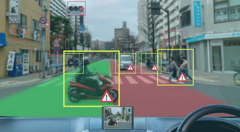
Inrix mobile app provides real time travel , route information

The new Inrix Traffic mobile app uses machine learning to predict and personalise the user’s routes, destinations and alerts, adding favourite places automatically. Based on learned activities, it creates a daily, driver-specific itinerary of anticipated trips, as well as frequent and preferred routes. By accessing calendar information on a mobile device, the app also adds events with addresses to the daily driving itinerary.
July 1, 2016 Read time: 1 min
Mobile app takes the guesswork out of navigation

The new 163 Inrix Traffic mobile app uses machine learning to predict and personalise the user’s routes, destinations and alerts, adding favourite places automatically. Based on learned activities, it creates a daily, driver-specific itinerary of anticipated trips, as well as frequent and preferred routes.

By accessing calendar information on a mobile device, the app also adds events with addresses to the daily driving itinerary.

Inrix Traffic uses crowd-sourced network of over 275 million connected cars and devices to offer accurate map and real-time information; it proactively monitors road conditions to alert drivers of ideal departure times, changes to arrival times and optimal routes to frequent or scheduled destinations based on real-time traffic.

Available in eight languages in 16 countries across North America and Europe, with additional countries coming soon, Inrix Traffic is available worldwide now in the Apple App Store and Google Play.

For more information on companies in this article

Related Content

  • Big data helps San Diego optimise public transit
    July 14, 2014
    San Diego Metropolitan Transit System (MTS) has turned to Cubic’s big data subsidiary Urban Insights to make better use of its data, according to a report in Information Week. The agency has disparate data sources, including a smart-card payment system, GPS-based automatic vehicle location devices on buses, automatic passenger counters on trolleys, and extensive route and schedule information formatted in the general transit feed specification (GTFS) format developed by Google in 2006. "We look at all
  • Getting to the point
    September 4, 2018
    Cars are starting to learn to understand the language of pointing – something that our closest relative, the chimpanzee, cannot do. And such image recognition technology has profound mobility implications, says Nils Lenke Pointing at objects – be it with language, using gaze, gestures or eyes only – is a very human ability. However, recent advances in technology have enabled smart, multimodal assistants - including those found in cars - to action similar pointing capabilities and replicate these human qual
  • Qualcomm: V2X enhances safety, adding cloud connectivity informs services
    September 29, 2023
    Many of the fatalities that occur on roadways are preventable. The application of technology could eliminate or mitigate the severity of up to 80% of non-impaired crashes. Jim Misener Senior Director and V2X Ecosystem Lead of Qualcomm Technologies, Inc. explains how
  • IntelliDrive, connectivity, safety, mobility and the environment?
    January 30, 2012
    Shelley Row, Director of the ITS Joint Program Office, US Department of Transportation, details the new five-year ITS Strategic Research Plan. Imagine a world where vehicles of all types can talk to each other in order to reduce or eliminate crashes, where vehicles can talk to traffic signals to eliminate unnecessary stops, where travellers can get accurate travel time information about all modes and route options, and where transportation managers have data which allows them to accurately assess multimodal