Inrix mobile app provides real time travel , route information

The new Inrix Traffic mobile app uses machine learning to predict and personalise the user’s routes, destinations and alerts, adding favourite places automatically. Based on learned activities, it creates a daily, driver-specific itinerary of anticipated trips, as well as frequent and preferred routes. By accessing calendar information on a mobile device, the app also adds events with addresses to the daily driving itinerary.
July 1, 2016 Read time: 1 min
Mobile app takes the guesswork out of navigation

The new 163 Inrix Traffic mobile app uses machine learning to predict and personalise the user’s routes, destinations and alerts, adding favourite places automatically. Based on learned activities, it creates a daily, driver-specific itinerary of anticipated trips, as well as frequent and preferred routes.

By accessing calendar information on a mobile device, the app also adds events with addresses to the daily driving itinerary.

Inrix Traffic uses crowd-sourced network of over 275 million connected cars and devices to offer accurate map and real-time information; it proactively monitors road conditions to alert drivers of ideal departure times, changes to arrival times and optimal routes to frequent or scheduled destinations based on real-time traffic.

Available in eight languages in 16 countries across North America and Europe, with additional countries coming soon, Inrix Traffic is available worldwide now in the Apple App Store and Google Play.

For more information on companies in this article

Related Content

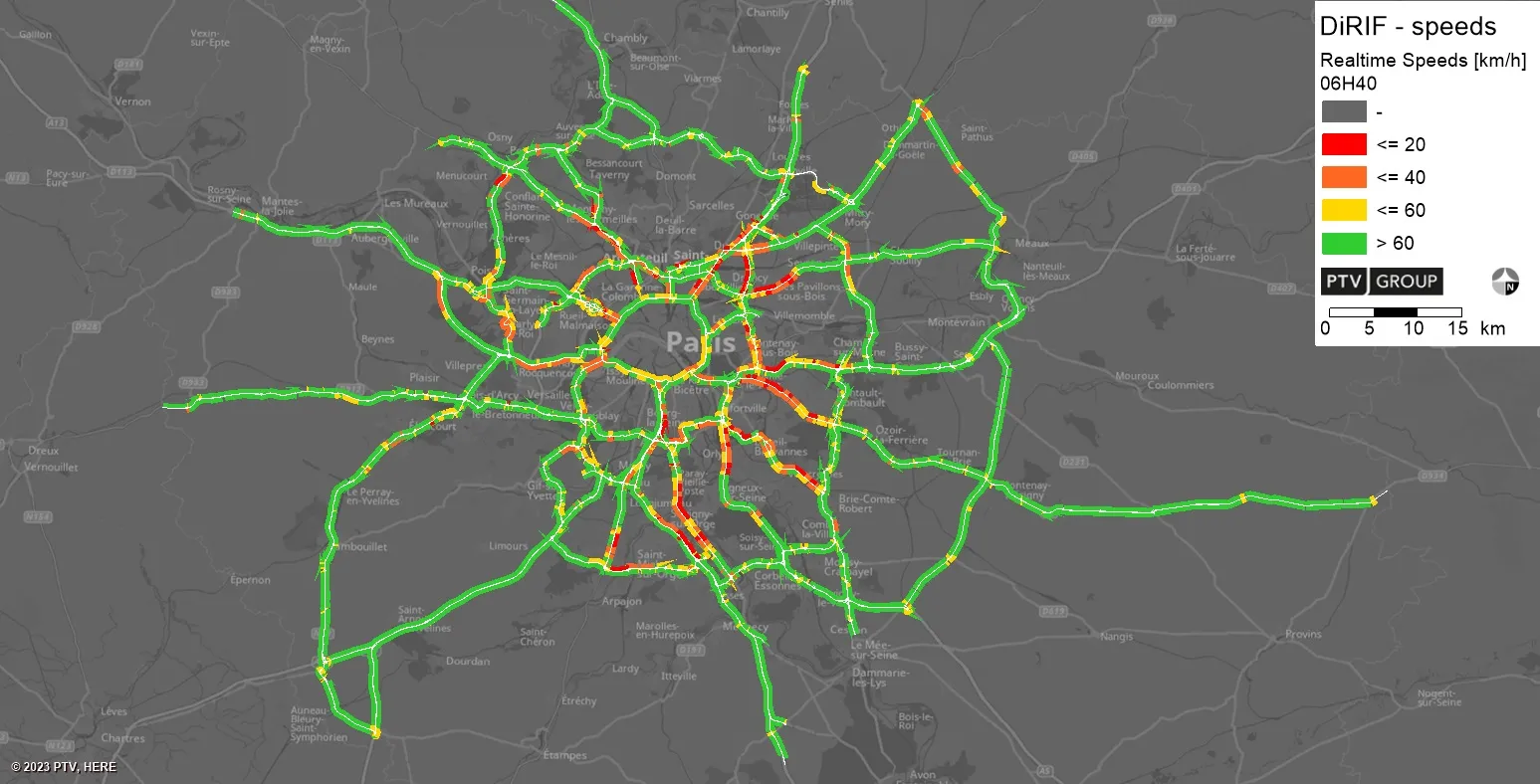
  • PTV provides precise data on Paris traffic
    July 31, 2023
    GPS location of vehicles travelling around French capital will be used to ease congestion
  • Iowa DOT to use new Inrix Safety Alerts to help prevent rear-end collisions
    May 3, 2017
    Iowa Department of Transportation (DOT) has renewed its traffic data services contract with Inrix and will also employ Inrix Dangerous Slowdowns, a newly launched service that warns drivers and DOTs of sudden reductions in speed or stopped traffic on the road. Dangerous Slowdowns is part of the new Inrix Safety Alerts product suite which also includes Inrix Incidents and Inrix Road Weather, to provide real-time insight on roadways to inform drivers and make roadways safer. The Safety Alerts product suite co
  • Real time technology implementation moves forward in British Columbia
    July 12, 2017
    Canadian public transportation company BC Transit, British Columbia, is moving forward with implementation of real time technology, or automatic vehicle location enabled technology, in seven of its transit systems. Strategic Mapping has been selected to install and maintain the technology.
  • Mobile real time weather data collection
    June 12, 2015
    With a measuring frequency of 100 values per second, the Marwis mobile road weather sensor from Lufft is suitable for use by meteorological services, airports, road administrations, civil services and municipalities.