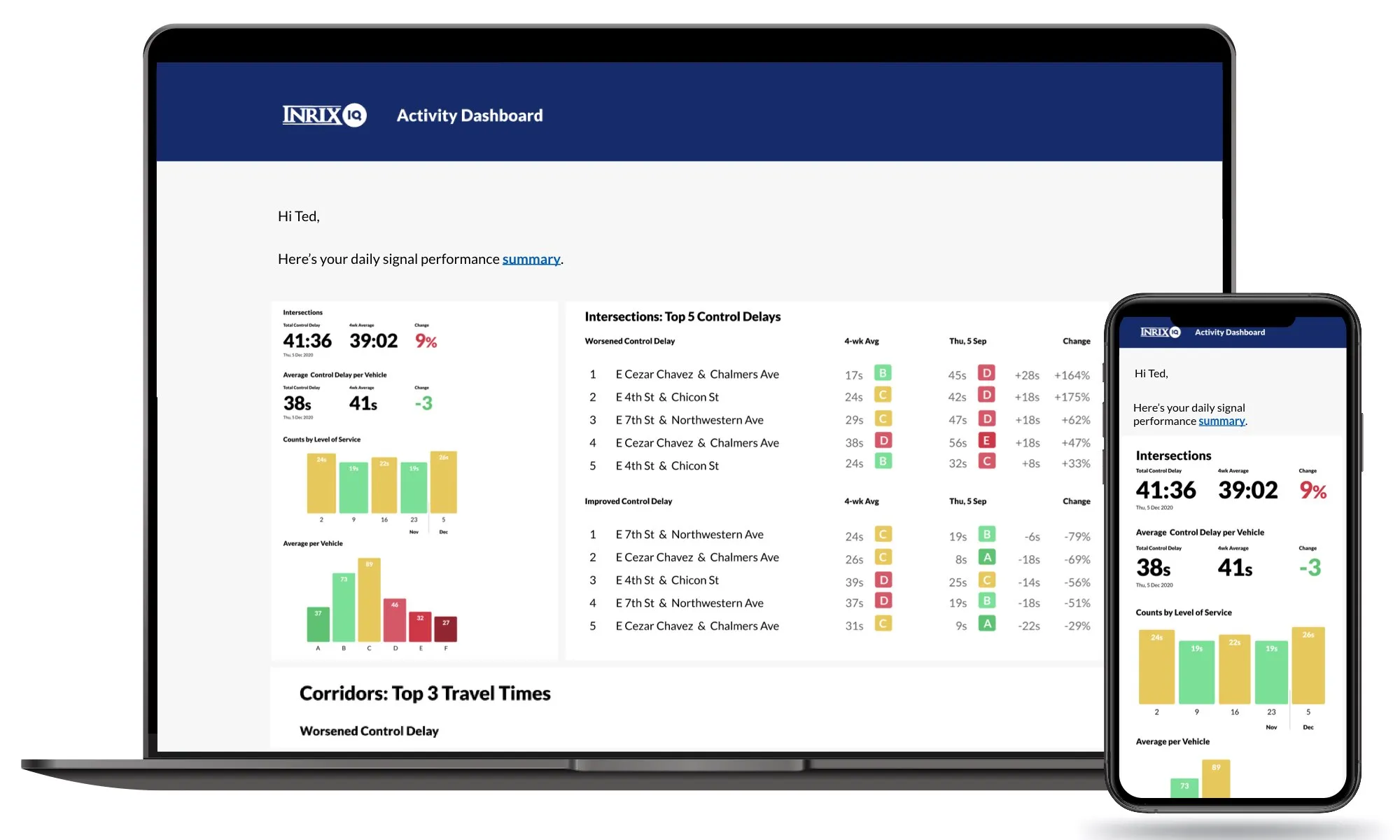
Inrix mobile app provides real time travel , route information

The new Inrix Traffic mobile app uses machine learning to predict and personalise the user’s routes, destinations and alerts, adding favourite places automatically. Based on learned activities, it creates a daily, driver-specific itinerary of anticipated trips, as well as frequent and preferred routes. By accessing calendar information on a mobile device, the app also adds events with addresses to the daily driving itinerary.
July 1, 2016 Read time: 1 min
Mobile app takes the guesswork out of navigation

The new 163 Inrix Traffic mobile app uses machine learning to predict and personalise the user’s routes, destinations and alerts, adding favourite places automatically. Based on learned activities, it creates a daily, driver-specific itinerary of anticipated trips, as well as frequent and preferred routes.

By accessing calendar information on a mobile device, the app also adds events with addresses to the daily driving itinerary.

Inrix Traffic uses crowd-sourced network of over 275 million connected cars and devices to offer accurate map and real-time information; it proactively monitors road conditions to alert drivers of ideal departure times, changes to arrival times and optimal routes to frequent or scheduled destinations based on real-time traffic.

Available in eight languages in 16 countries across North America and Europe, with additional countries coming soon, Inrix Traffic is available worldwide now in the Apple App Store and Google Play.

For more information on companies in this article

Related Content

  • Inrix expands Signal Analytics capabilities 
    February 19, 2021
    Operators can now understand performance of 210,000 signalised intersections, firm says 
  • Ohio DOT Selects Inrix and StreetLight Data for on-demand mobility intelligence
    September 26, 2017
    The Ohio Department of Transportation (ODOT) has added analytics and origin-destination to its existing Inrix traffic services to help monitor, measure and manage the state’s road network. As part of the agreement, StreetLight Data will enable ODOT to transform Inrix data into actionable intelligence. Ohio DOT will utilise analytic tools and traffic services from Inrix and StreetLight Data to improve system planning, traffic management and operations in Ohio.
  • Mentor MyRide keeps passengers informed
    January 25, 2012
    Mentor Engineering has released its online passenger information system, Mentor MyRide. Developed for transit agencies, it provides passengers with various means of accessing real-time bus location, status and schedule information online using a desktop computer, smart phone or regular mobile phone.
  • ITS World Congress premieres Kongressnavigator
    September 28, 2012
    Available for download from this week, the ITS World Congress ‘Kongressnavigator’is the first app to combine all the most important things at a congress. It helps visitors navigate through the city and the congress centre, and it integrates the conference programme, transportation schedules and tickets. All this comes together on the smartphone - now available for the iPhone, Android and as a mobile web application. Arrival at the airport followed by a quick stop at your hotel - there's not much time to spa