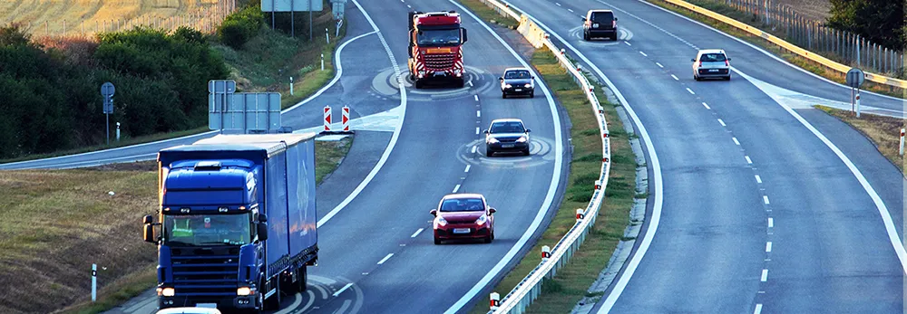
Inrix mobile app provides real time travel , route information

The new Inrix Traffic mobile app uses machine learning to predict and personalise the user’s routes, destinations and alerts, adding favourite places automatically. Based on learned activities, it creates a daily, driver-specific itinerary of anticipated trips, as well as frequent and preferred routes. By accessing calendar information on a mobile device, the app also adds events with addresses to the daily driving itinerary.
July 1, 2016 Read time: 1 min
Mobile app takes the guesswork out of navigation

The new 163 Inrix Traffic mobile app uses machine learning to predict and personalise the user’s routes, destinations and alerts, adding favourite places automatically. Based on learned activities, it creates a daily, driver-specific itinerary of anticipated trips, as well as frequent and preferred routes.

By accessing calendar information on a mobile device, the app also adds events with addresses to the daily driving itinerary.

Inrix Traffic uses crowd-sourced network of over 275 million connected cars and devices to offer accurate map and real-time information; it proactively monitors road conditions to alert drivers of ideal departure times, changes to arrival times and optimal routes to frequent or scheduled destinations based on real-time traffic.

Available in eight languages in 16 countries across North America and Europe, with additional countries coming soon, Inrix Traffic is available worldwide now in the Apple App Store and Google Play.

For more information on companies in this article

Related Content

  • Coming soon...real time passenger communication in advance of travel
    November 25, 2013
    A partnership between UK payment and ticketing solutions provider Parkeon and Cloud Amber is about to deliver real time passenger information (RTPI) in advance of travel that the companies say is redefining the effectiveness of RTPI systems. The system developed by Parkeon and Cloud Amber enables over-the-air location tracking of buses, the deep integration with urban traffic management control (UTMC) data and two-way driver messaging. This bus-centric view means that operators are better able to manage
  • Building Europe’s roads for driverless age
    June 17, 2022
    Creating smart, co-operative road transport systems that harness the white heat of technology won’t be easy but a new document shows the way – Andrew Stone does some reading…
  • Parker smartphone app enables real time parking search
    December 6, 2012
    Thanks to a partnership between parking technology provider Streetline and Cisco, drivers in the San Francisco bay area of the US are now able to locate the nearest vacant parking space using just their smartphone and a mobile app called Parker. First deployed in Sausalito, the system has now been installed in San Mateo and San Carlos. It uses a small wireless sensor about the size of a golf hole installed in the parking bay to detect whether the space is occupied by a vehicle. Each sensor wirelessly comm
  • How on-board video systems can increase vehicle & road safety
    January 7, 2022
    Hikvision examines technology which can avert danger in cars, school buses, taxis and trucks